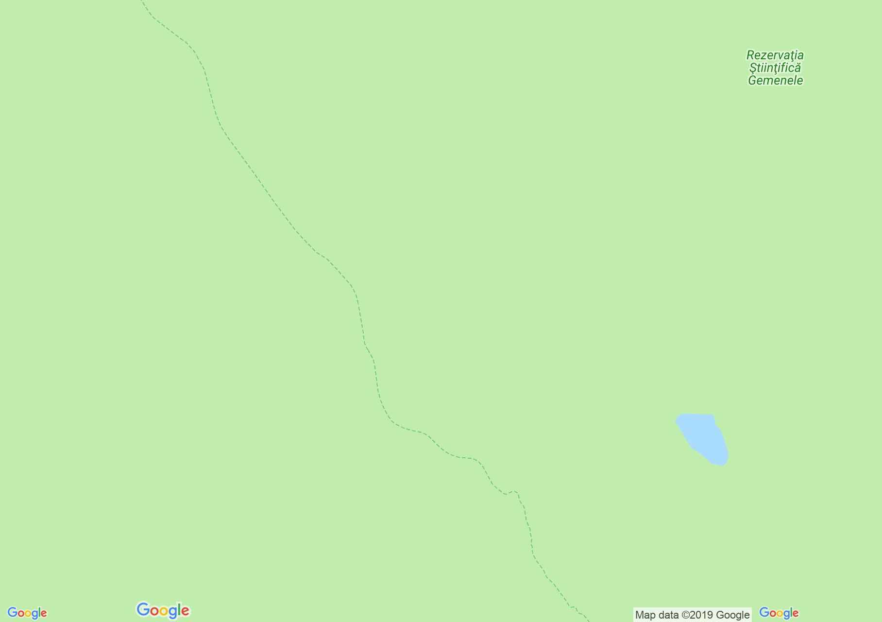
Map of Retezat mountains: Gura Zlata - Zănoaga lake
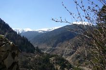
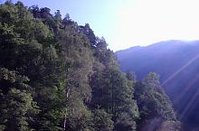
The route starts from Gura Zlata Chalet (775 m) to Brădețel, the attic passes to the right, and climbs the eastern bank of the valley. At the glade from Gura Zlata we enter the path from the valley of Zlata. We cross the water of Zlata brook, we leave the path leading to the reserve and we enter the Radeșu Mare valley. Climb about. 10 minutes, and after we leave the valley we follow a long climb on the Cloaca Porumbelului. Going out of the valley, we cross the Sânpetrilor sheepfold, and a juniper area, bypass Rareșu Mare (2085m) and reach the Radeș-Zlata Plateau. Here we meet:
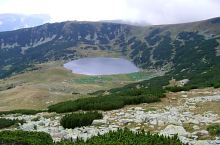
After 20 minutes, along with the blue triangle, we reach the eastern edge of the Rareș-Zlata Plateau, where opens the panorama of the valley what shelter the lakes from the Zanoaga-Judele Basin. The path descends beside the rich springs, and we reach the southern bank of Zanoaga. Here we meet

Gura Zlatei, Photo: Tony Faradon
Gura Zlatei, Photo: Silviu Vulcan
Gura Zlatei, Photo: Radu Coca
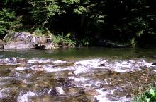
Zlata brook, Photo: Răzvan Coca
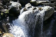
Turcu brook, Photo: Silviu Vulcan
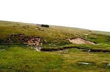
Redes plateau

Zănoaga lake, Photo: Radu Dârlea

Zănoaga lake, Photo: Radu Dârlea
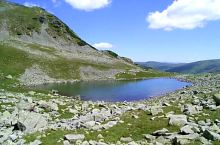
Zănoaga lake, Photo: Dan Harabagiu
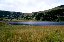
Lake Zanoaga and saddle towards Gura Zlata, Photo: Dan Harabagiu
Zănoaga lake, Photo: Dan Harabagiu
Source: welcometoromania.ro
GPS: 45.35526N, 22.78887E
Map type