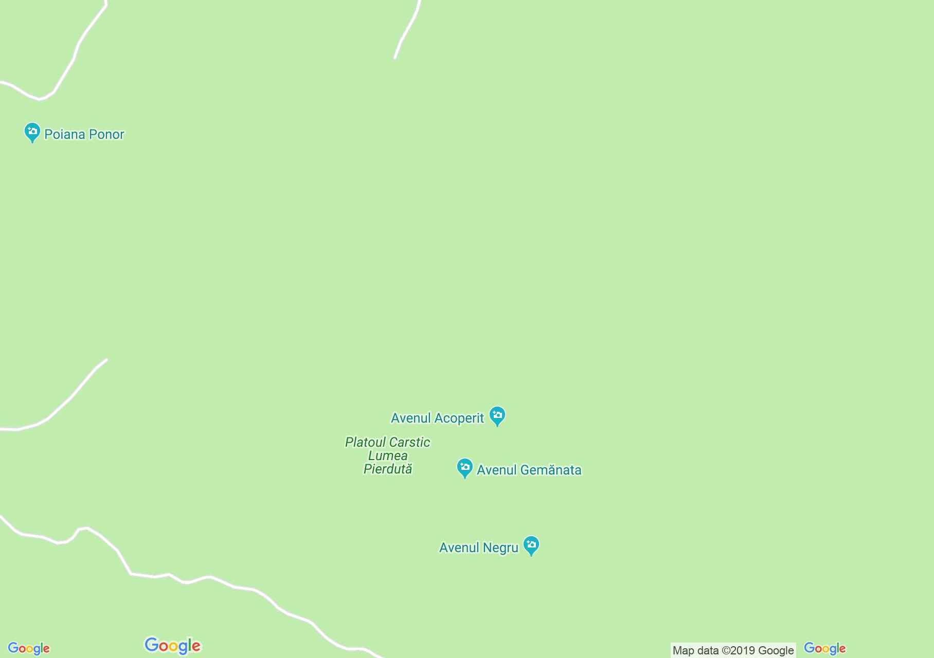
Map of Izvorul rece: Gemanata vertical cave
The first exploration of the avenues takes place in 1952, when they reach the underground water of the Lumea Pierduta, which is lost in siphon (-115m). Four years later, the junction between Gemanata and Black Aven is traversed and the terminal trap is reached at -135m in the Gumenata cave.
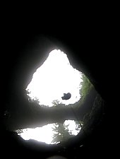
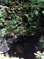
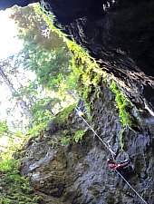
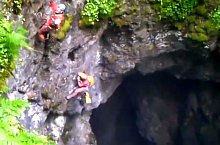
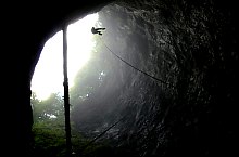
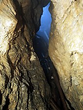
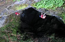
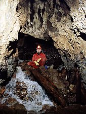
The cave network map of 1980 specifies the length of the network at 2487m. Today's complete crossing is impossible due to the top fallen stuffing. Downhill is dangerous due to logs. The mouth of the pot has a diameter of 20 m divided into two by a natural stone bridge. The first 40m vertical is followed by two smaller ones, reaching the underground river whose roar is heard even on the surface. This river communicates with the Negru vertical cave.
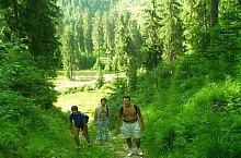
Acecessible from this hiking trail:
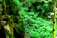
Gemanata vertical cave, Izvorul rece , Photo: Kis Zsigmond

Gemanata vertical cave, Izvorul rece , Photo: Kis Zsigmond
Gemanata vertical cave, Izvorul rece , Photo: Speo Planivy
Gemanata vertical cave, Izvorul rece , Photo: Cristina Ianc
Gemanata vertical cave, Izvorul rece , Photo: Espeleo Cincuenta
Gemanata vertical cave, Izvorul rece , Photo: Salvamont Oradea

Gemanata vertical cave, Izvorul rece , Photo: Espeleo Cincuenta
Gemanata vertical cave, Izvorul rece , Photo: Speo Planivy

Gemanata vertical cave, Izvorul rece , Photo: Kis Zsigmond

Gemanata vertical cave, Izvorul rece , Photo: Cristina Ianc

Gemanata vertical cave, Izvorul rece , Photo: Cristina Ianc
Gemanata vertical cave, Izvorul rece , Photo: Kis Zsigmond

Gemanata vertical cave, Izvorul rece , Photo: Speo Planivy

Gemanata vertical cave, Izvorul rece , Photo: Cristina Ianc

Gemanata vertical cave, Izvorul rece , Photo: Espeleo Cincuenta

Gemanata vertical cave, Izvorul rece , Photo: Salvamont Oradea

Gemanata vertical cave, Izvorul rece , Photo: Diana Oprescu

Gemanata vertical cave, Izvorul rece , Photo: Speo Planivy
Gemanata vertical cave, Izvorul rece , Photo: Speo Planivy

Gemanata vertical cave, Izvorul rece , Photo: avenul_gemanata13
Source: welcometoromania.ro
GPS: 46.56172N, 22.73276E
Map type


Bihor-Vladeasa, Apuseni mountains: Glăvoi-Casa de Piatră

Bihor-Vladeasa, Apuseni mountains: Padiş - Lumea Pierdută
Izvorul rece: Gemanata vertical cave
Izvorul rece: Acoperit vertical cave
Bihor-Vladeasa, Apuseni mountains: Padiş - Lumea Pierdută
Izvorul rece: Izvorul Rece

Bihor-Vladeasa, Apuseni mountains: Padiş Tourist Hostel - Arieşeni