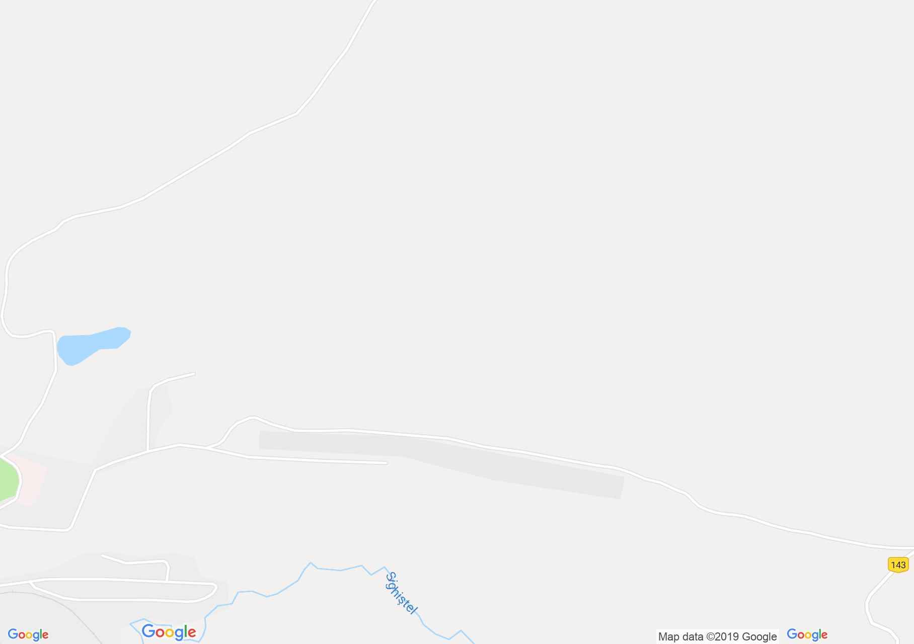
Map of Bihor-Vladeasa, Apuseni mountains: Ştei - Vârtop saddle
Our blaze starts from the road DN 76 Oradea-Ștei. It leads towards the neurological clinic circa 50m, then turns right, goes through the meadow, and goes straight into the forest. After a newer pasture it crosses a road and goes further within the wood.
After 1 hour 20 minutes we reach the Fata Goala peak ( 640m), from where we descend eastwards, go round a smaller hill and after 25 m climbing we reach a spring. We walk below the Brusturi and Dosurile peaks and we meet the
After 300m the red dot leaves us. Our blaze climbs the Grohotilor peak (808m), then descends into the Magura valley.
We go 300m in the valley, then we climb out onto the ridge. From the end of the foresters` path the blaze goes through the Cheia Rea streamlet, until another streamlet, from where we shall climb on serpentines to another spring.
We turn right 180 at rate, and after 15 minutes we walk under the Țîrău peak, we cross the road coming from the Dry valley, go around the Tapu peak (1474m) and reach the Groapa Ruginoasa abyss. From here we descend to the DN 75 road, and the Arieșeni Vărtop saddle is within 10 min.

Ștei, Photo: City hall
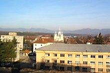
Ștei, Photo: City hall

Ștei, Photo: City hall

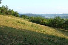
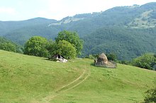
Over the Sighiștel village, Photo: Kuti Ludovic
To Vartop, Photo: Kuti Ludovic
To Vartop, Photo: Kuti Ludovic

To Vartop, Photo: Kuti Ludovic

To Vartop, Photo: Kuti Ludovic

The road to Magura, Photo: Kuti Ludovic

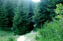
Fața Goală, in the forest, Photo: Kuti Ludovic

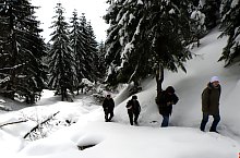
Common way with red point, Photo: WR

Common way with red point, Photo: WR
Common way with red point, Photo: Kuti Ludovic

Over the Julești village, Photo: Kuti Ludovic

Over the Sighiștel vale, Photo: Kuti Ludovic

Under the Țapu peak, Photo: Kuti Ludovic

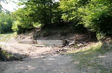
Groapa Ruginoasa, Photo: Cristian Vârciu

Groapa Ruginoasa, Photo: Sorin Stanciu

Groapa Ruginoasa, Photo: Sorin Stanciu
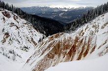
Groapa Ruginoasa, Photo: Mezei Elemér
Groapa Ruginoasa, Photo: Mezei Elemér
Groapa Ruginoasa, Photo: WR

Groapa Ruginoasa, Photo: WR
Source: welcometoromania.ro
GPS: 46.54782N, 22.48385E
Map type