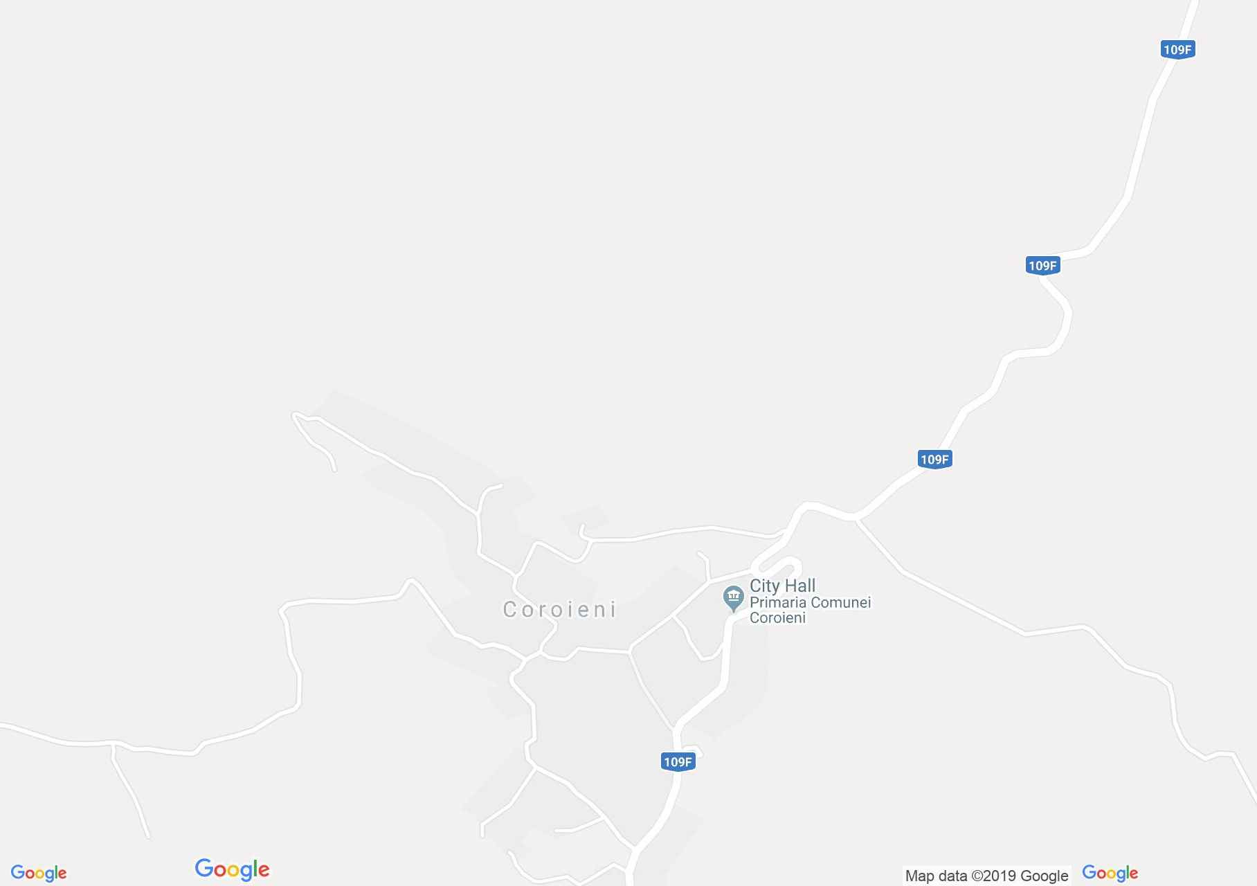
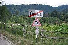
Map of Coroieni
Coroieni was mentioned in documents in 1584, but was founded between 1554 and 1584. From the list of nobles, the Karuly family, whose estate was almost 300 years old, is outlined. There were 10 water mills in the village, and in the 19th century almost Orthodox walls and Greco-Catholic churches were built almost simultaneously.
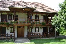
Coroieni , Photo: WR
Coroieni , Photo: WR
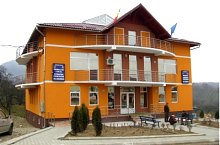
Coroieni , Photo: WR

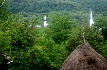
Coroieni, Upper church, Photo: WR
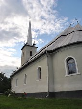
Coroieni, Bottom church, Photo: WR
Coroieni , Photo: WR

Coroieni , Photo: WR
Coroieni , Photo: WR
Source: welcometoromania.ro
GPS: 47.37434N, 23.76464E
pag. 1
<
>
Map type