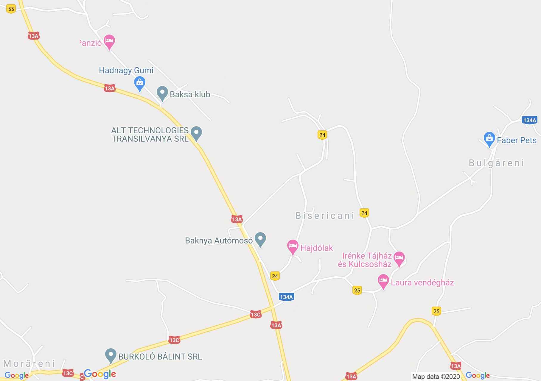
Map of Bisericani
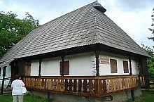
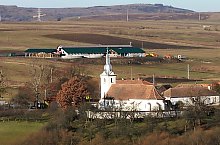
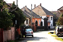
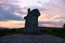
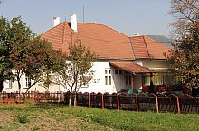
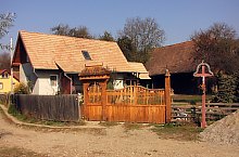
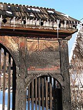
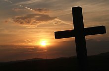
City Bisericani attested 1333 named Sancto Spiritu. Archaeologists have discovered traces of a Bronze Age settlement in the area. In the 17th century, the Tartars destroyed the settlement twice. Feernic brook flowing through the village caused a soldier and flood victims following a cloudburst in the summer of 2005. A monument commemorating this event. The Catholic Church, which rises behind a short stone wall at the edge of the settlement, preserves elements from the 13th century. Village Museum near the church and the 14 springs in the area and they are waiting for their visitors.
Bisericani , Photo: Csedő Attila

Bisericani , Photo: Csedő Attila

Bisericani , Photo: Csedő Attila

Bisericani , Photo: Csedő Attila

Bisericani , Photo: Csedő Attila
Bisericani , Photo: Fekete István
Bisericani , Photo: Csedő Attila

Bisericani , Photo: Csefő Attila
Bisericani , Photo: Fekete István
Bisericani , Photo: Csedő Attila
Bisericani , Photo: Csedő Attila
Bisericani , Photo: Csedő Attila
Bisericani , Photo: Csedő Attila

Bisericani , Photo: Csedő Attila
Bisericani , Photo: Csedő Attila
Bisericani , Photo: Csedő Attila
Source: welcometoromania.ro
GPS: 46.36132N, 25.23807E
Map type