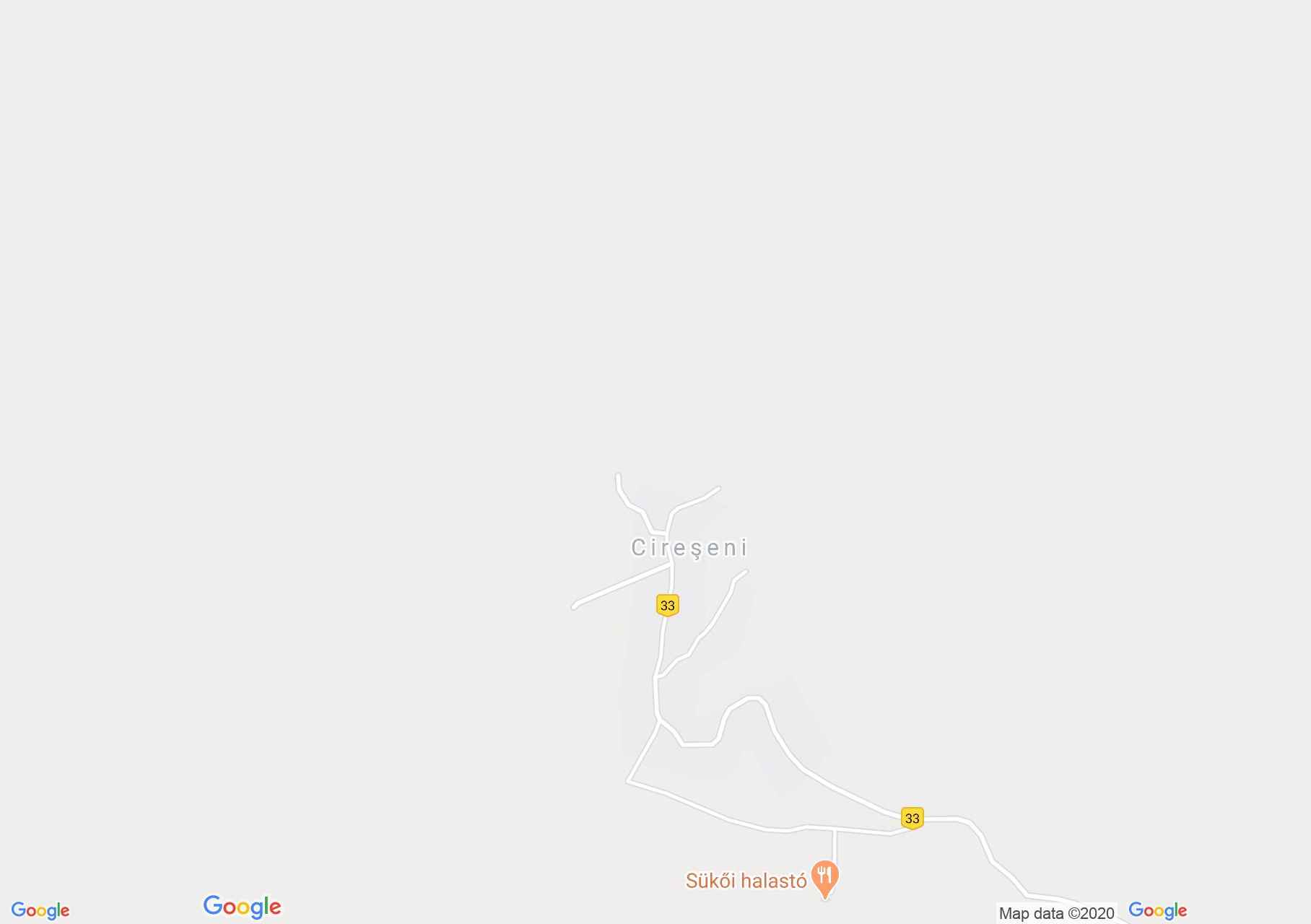
Map of Cireşeni
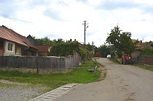
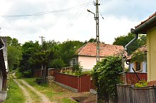
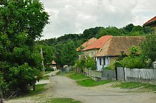
The road to Cireșeni, hidden in the valley of the Sükő brook, passes through Forțeni. Starting from Odorheiu Secuiesc, we arrive here after 8 km. At the beginning of summer we can also taste the crunchy cherries that can be picked here. The curiosity of the locality is the sloping tower during the landslide in the 1970s.

Cireșeni , Photo: WR
Cireșeni , Photo: WR
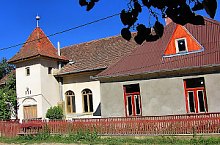
Cireșeni , Photo: Csedő Attila
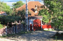
Cireșeni , Photo: WR
Cireșeni , Photo: WR

Cireșeni , Photo: WR

Cireșeni , Photo: WR
Cireșeni , Photo: WR

Cireșeni , Photo: WR

Cireșeni , Photo: WR
Source: welcometoromania.ro
GPS: 46.32070N, 25.20118E
pag. 1
<
>
Map type