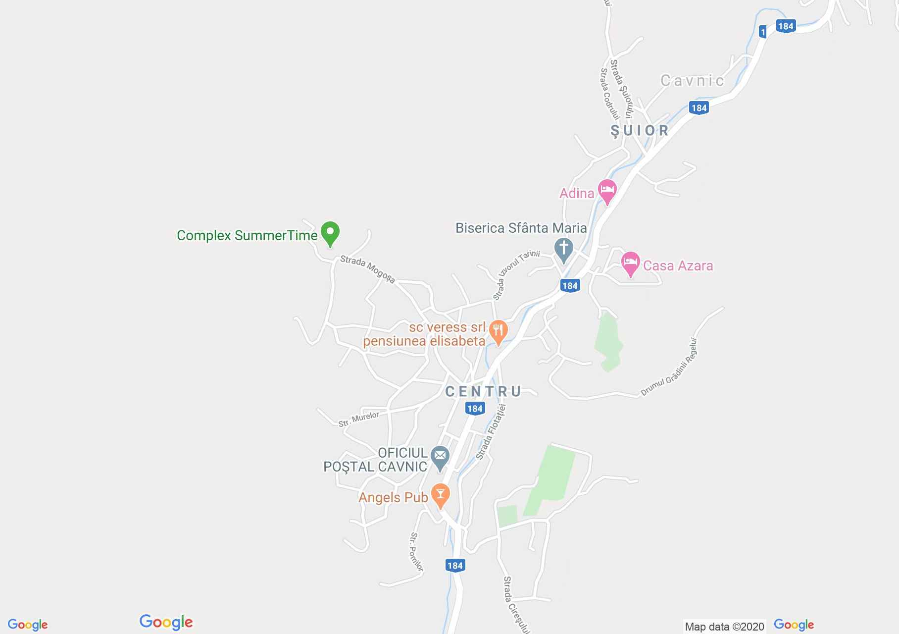
Map of Cavnic
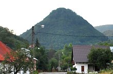
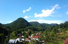
Located in the foothills of Gutai on the upper river Cavnic, was approved in 1336. Mining in the area was started by the Romans. The city was invaded by the Turks in 1460 and in 1717 by the Tatars. In 1763 the mining concessions began. Since 1968 the town has become a city. During the mining period, lead, zinc and copper ores were exploited and processed here. After closing mines focuses on tourism town were opened two ski slopes.
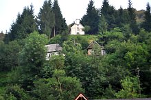
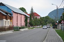
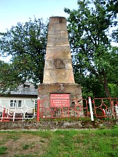
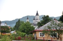
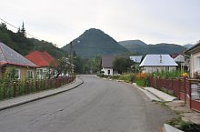
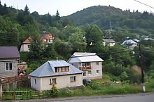
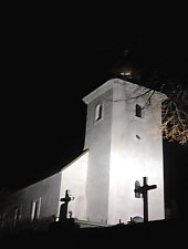
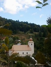
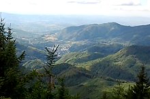
Cavnic, Sights

Cavnic , Photo: László Rezső

Cavnic , Photo: WR
Cavnic , Photo: WR

Cavnic , Photo: WR

Cavnic , Photo: WR
Cavnic , Photo: WR
Cavnic , Photo: WR
Cavnic , Photo: WR
Cavnic , Photo: WR
Cavnic , Photo: WR
Cavnic , Photo: WR

Cavnic , Photo: László Rezső
Cavnic , Photo: László Rezső
Cavnic , Photo: László Rezső
Cavnic , Photo: László Rezső
Cavnic , Photo: László Rezső
Source: welcometoromania.ro
GPS: 47.64527N, 23.81927E
Map type