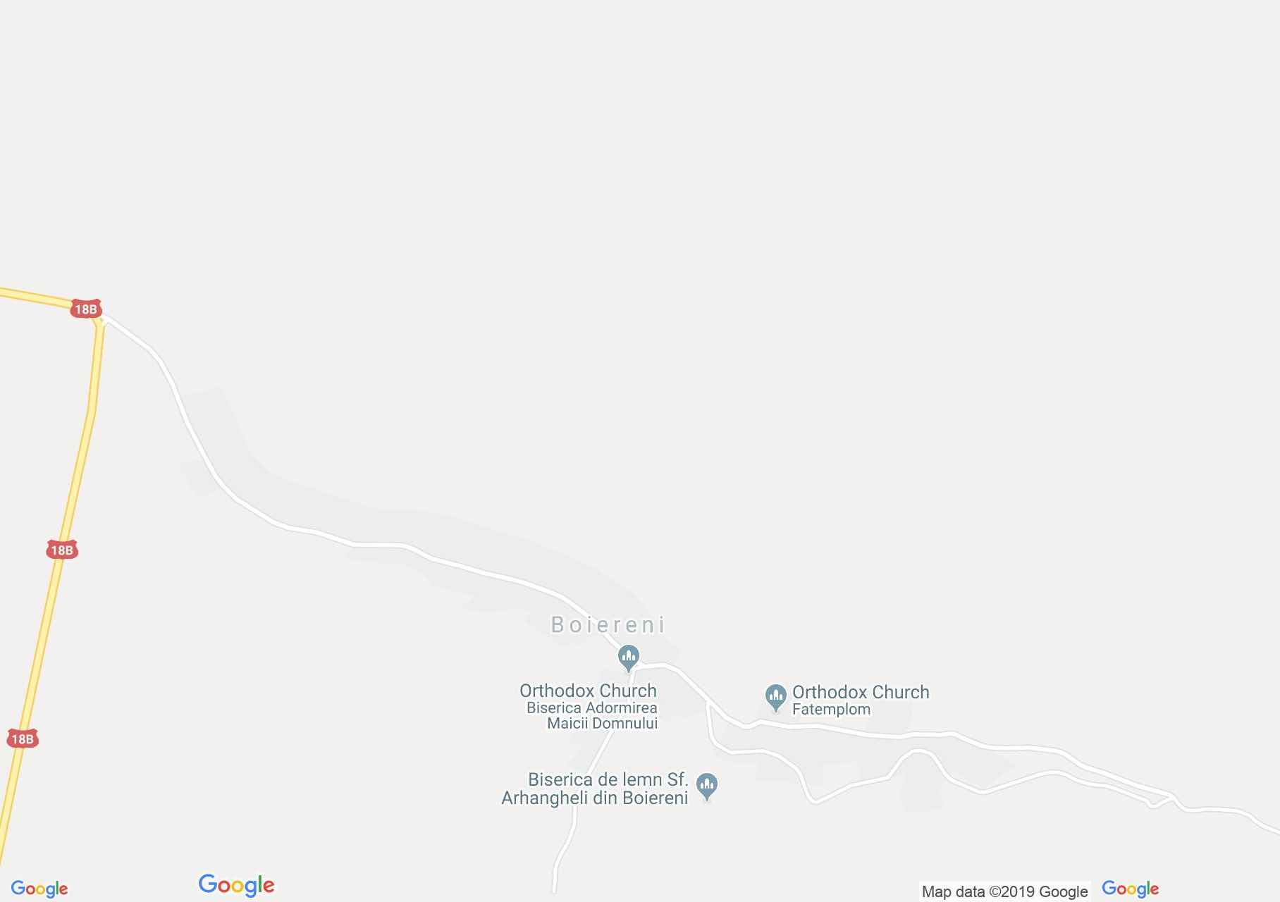
Map of Boiereni
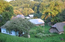
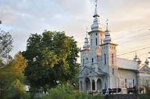
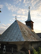
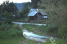
Boierni, a settlement located in the narrow valley of the Lighet stream, is attested since 1584. In the 16th century it was destroyed, but later rebuilt. Residents participating in the rulers' wars received a noble title from rulers Rákóczi György II and Apafi Mihály. There are two churches more than 100 years old in the locality.
Boiereni, Sights

Boiereni , Photo: WR
Boiereni , Photo: WR
Boiereni , Photo: WR
Boiereni , Photo: WR

Boiereni , Photo: WR

Boiereni , Photo: WR

Boiereni , Photo: WR
Boiereni , Photo: WR
Source: welcometoromania.ro
GPS: 47.38883N, 23.93042E
pag. 1
<
>
Map type