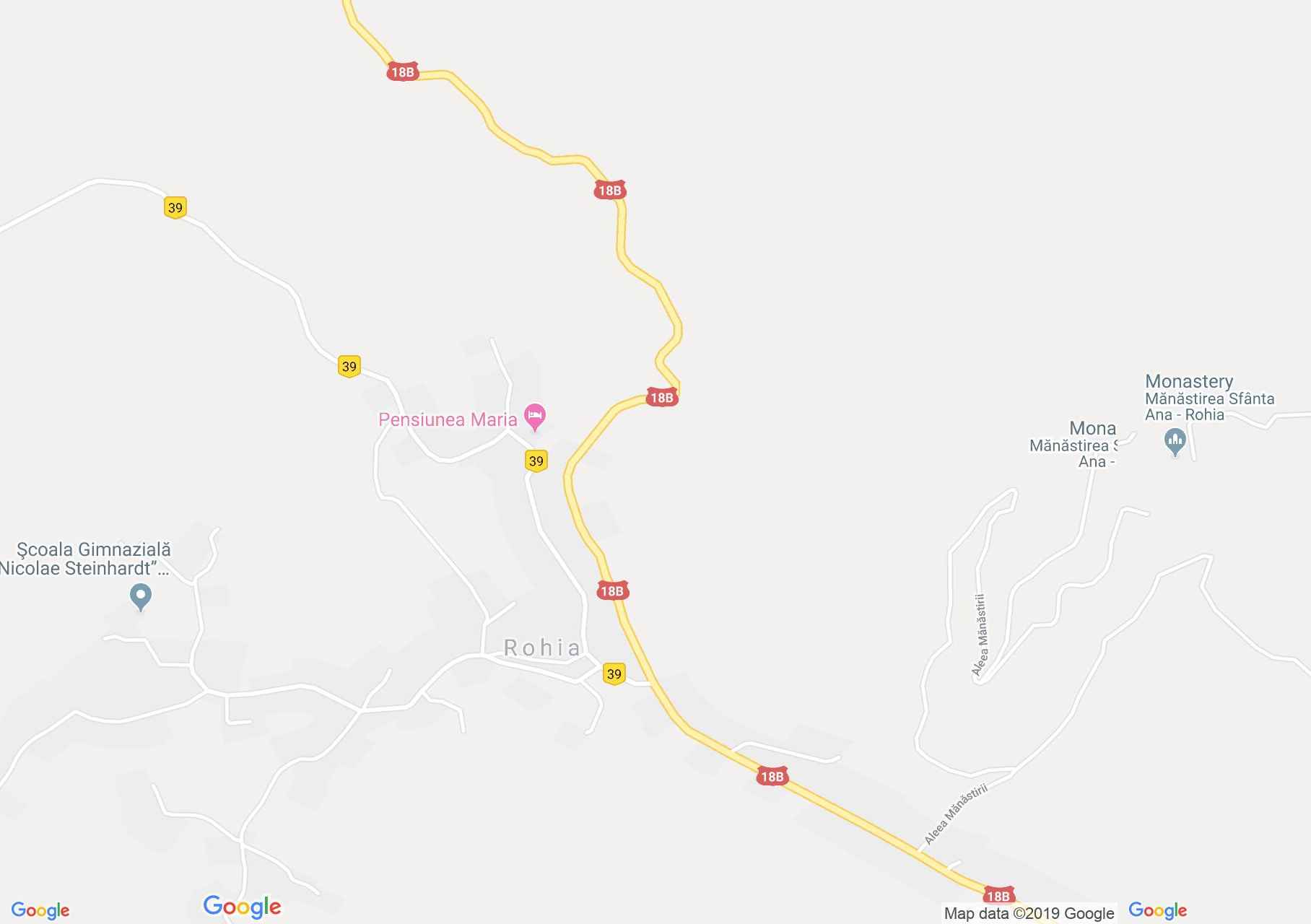
Map of Rohia
Rohia, a locality attested in 1325, was the family estate of Bánffy until the 16th century. Over the years it has increased the number of nobles, or wealthy families. In 1890 there were two wooden churches in the center of the Orthodox, built in 1898, and in the southern part of the locality the one of the Greek-Catholics built in 1790. Just 7 km north-east of the locality, in a In place of a rare beauty was built the Orthodox monastery of Saint Ana.
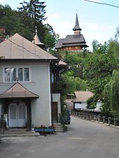
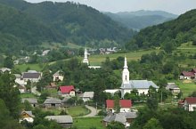
Rohia, Sights

Rohia , Photo: WR

Rohia , Photo: WR

Rohia , Photo: WR

Rohia , Photo: WR

Rohia , Photo: WR

Rohia , Photo: WR

Rohia , Photo: WR

Rohia , Photo: WR

Rohia , Photo: Marin Stratu
Rohia , Photo: Marin Stratu

Rohia , Photo: WR

Rohia , Photo: WR

Rohia , Photo: WR
Source: welcometoromania.ro
GPS: 47.40677N, 23.86691E
Map type