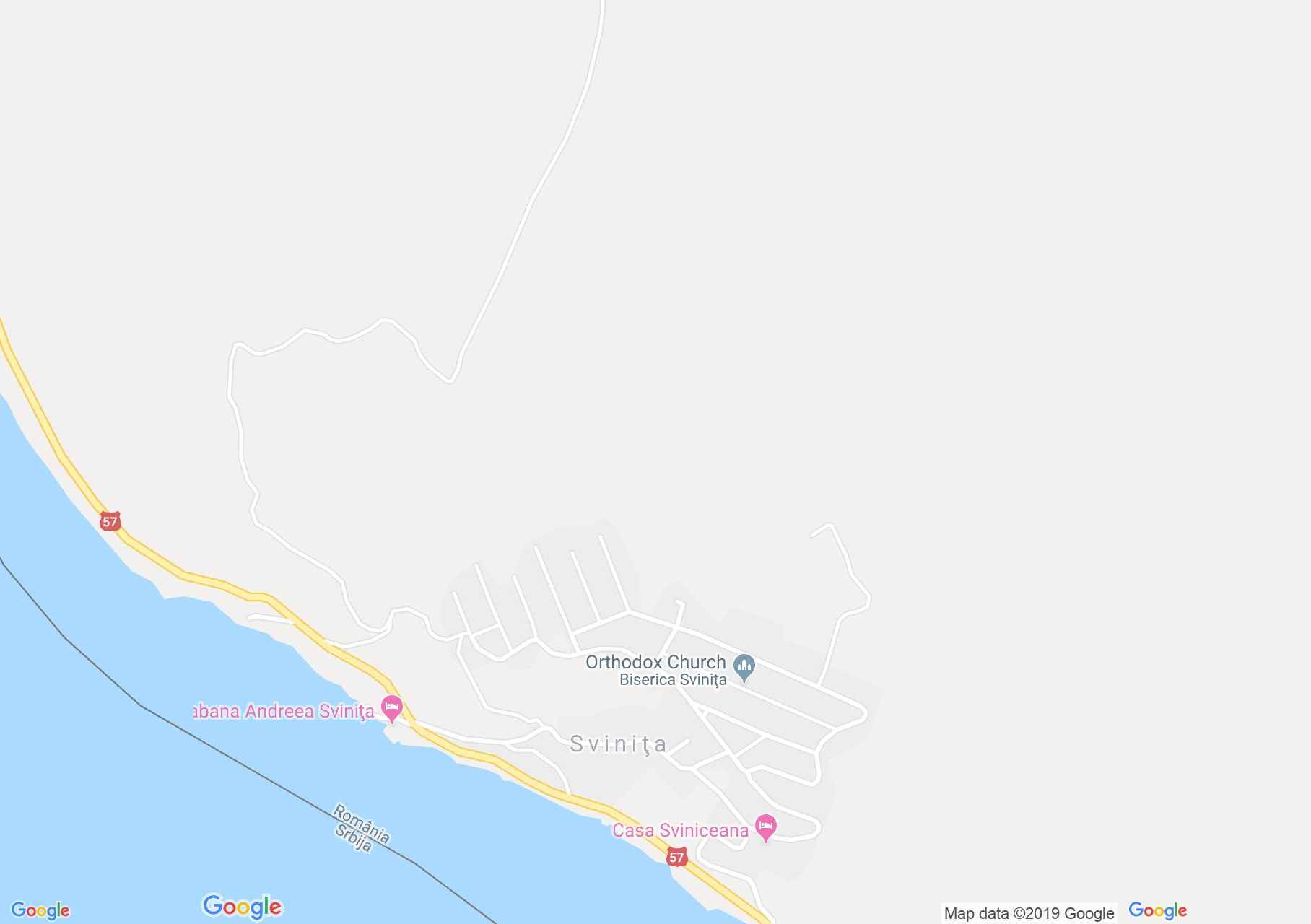
Map of Şviniţa
Svinita is a town, or rather village being dated from 1437, when it was a fortress. This village has undergone renaissance, and this happened in 1967, when it was moved upwards, northwards as the big gate of Portile de Fier was constructed on the Danube. This village has been getting accustomed to the changes in weather as well as that of time, as its ruins are still visible from the 15th and its towers from the 17th century.
Sights in Șvinița

Șvinița , Photo: WR

Șvinița , Photo: WR

Șvinița, Church Ruins, Photo: WR
Șvinița , Photo: WR

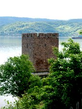
Tricule, Photo: WR

Tricule, Photo: Szabó Tibor

Șvinița, Church Ruins, Photo: WR

Șvinița, Church Ruins, Photo: WR

Șvinița , Photo: WR

Tricule, Photo: Valentin Sălăgeanu
Source: welcometoromania.ro
GPS: 44.49982N, 22.10320E
Map type