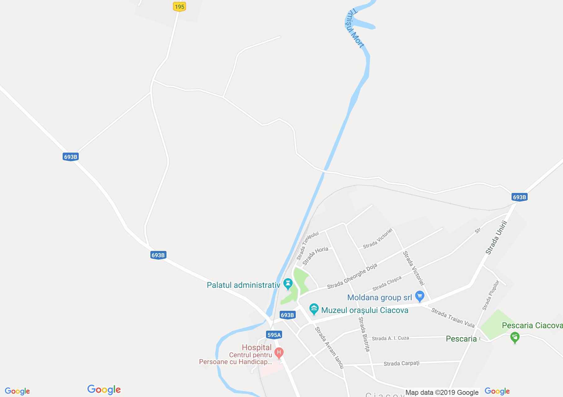
Map of Ciacova: The Turkish tower
Ciacova, with the old name Chac, had in its territory a 14th century fortress, which in 1421 became the property of the Csak family. Between 1551 and 1697, the Turks dominate it, transforming it into a fortress, the strongest part of which is the 4-storey residential tower, which is still visible today. It has a height of 23.70 m, it was built of brick, the wall thickness on the ground floor is 2.70 m, and the upper level is 1.10 m. In 1701 the defensive wall around the tower was destroyed, but no traces of the ditches water.
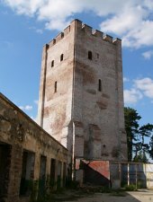
The Turkish tower, Ciacova , Photo: Szabó Tibor
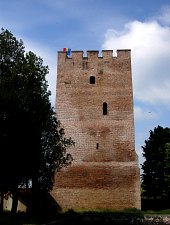
The Turkish tower, Ciacova , Photo: WR

The Turkish tower, Ciacova , Photo: Szabó Tibor
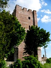
The Turkish tower, Ciacova , Photo: Szabó Tibor
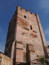
The Turkish tower, Ciacova , Photo: WR

The Turkish tower, Ciacova , Photo: WR
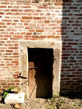
The Turkish tower, Ciacova , Photo: Szabó Tibor
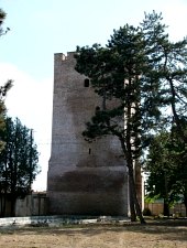
The Turkish tower, Ciacova , Photo: Szabó Tibor
Source: welcometoromania.ro
GPS: 45.51496N, 21.12240E
Map type