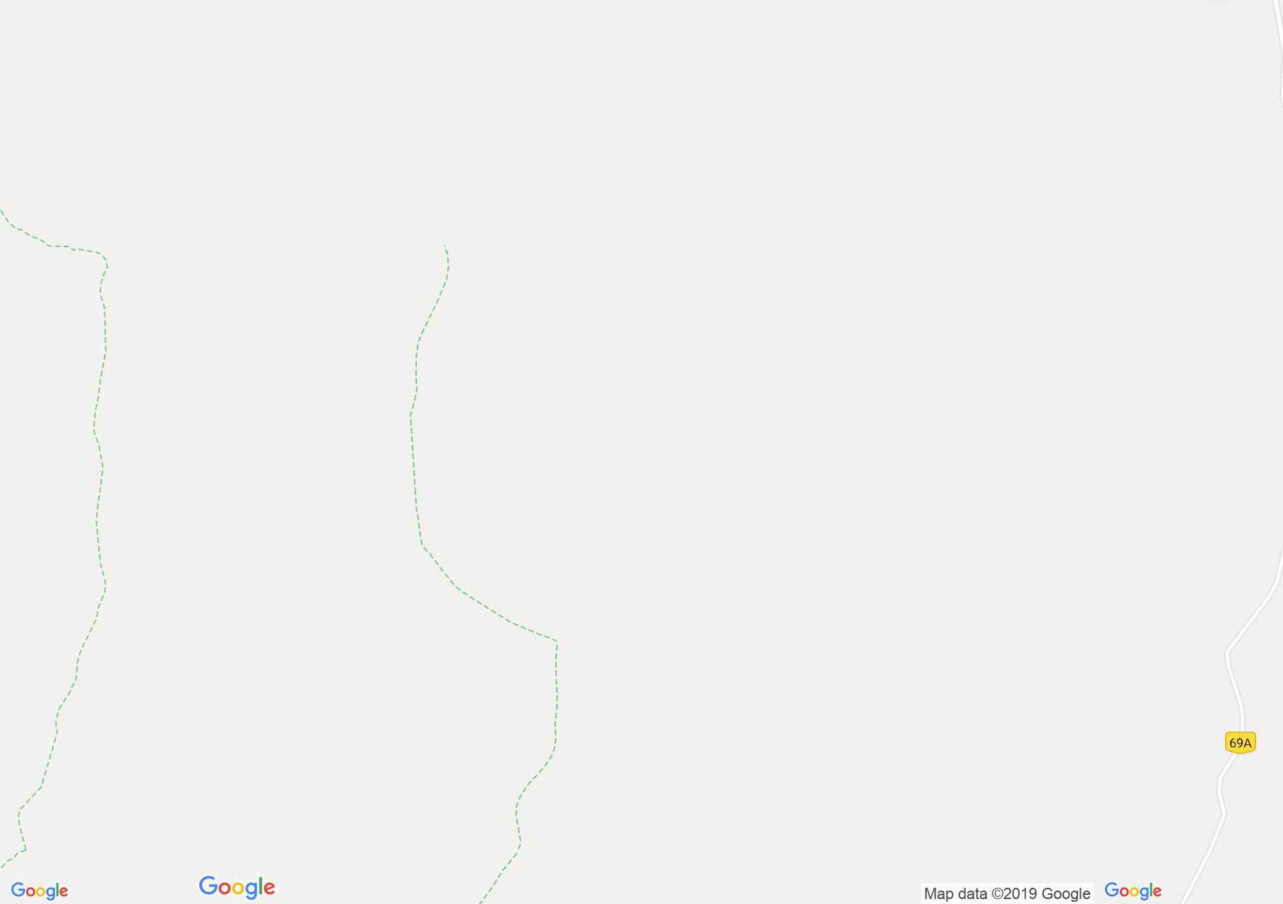
Map of Făgăraş mountains: Sebeş valley - Petriceaua peak
It is a route linking two trails marked with blue triangle and the red dot:
The mark is detached from the blue triangle on the left bank of the Sebeș River 0.5 km downstream of Piscul Alb. We follow the forest road that heads to the top. Soon we start the climb to the peak Petriceaua (1600 m), where we will meet the red point, which comes from Hârșeni
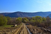
Sebeș valley - Petriceaua peak, Photo: Marius Mihai
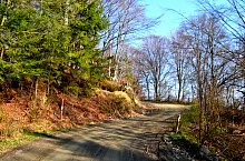
Sebeș valley - Petriceaua peak, Photo: Marius Mihai
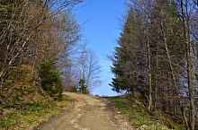
Sebeș valley - Petriceaua peak, Photo: Marius Mihai
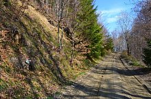
Sebeș valley - Petriceaua peak, Photo: Marius Mihai
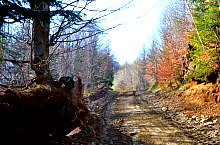
Sebeș valley - Petriceaua peak, Photo: Marius Mihai
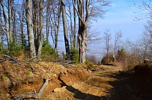
Sebeș valley - Petriceaua peak, Photo: Marius Mihai
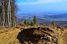
Sebeș valley - Petriceaua peak, Photo: Marius Mihai
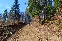
Sebeș valley - Petriceaua peak, Photo: Marius Mihai
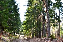
Sebeș valley - Petriceaua peak, Photo: Marius Mihai
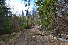
Sebeș valley - Petriceaua peak, Photo: Marius Mihai
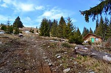
Sebeș valley - Petriceaua peak, Photo: Marius Mihai
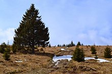
Sebeș valley - Petriceaua peak, Photo: Marius Mihai
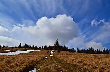
Sebeș valley - Petriceaua peak, Photo: Marius Mihai
Source: welcometoromania.ro
GPS: 45.67184N, 25.03789E
Map type