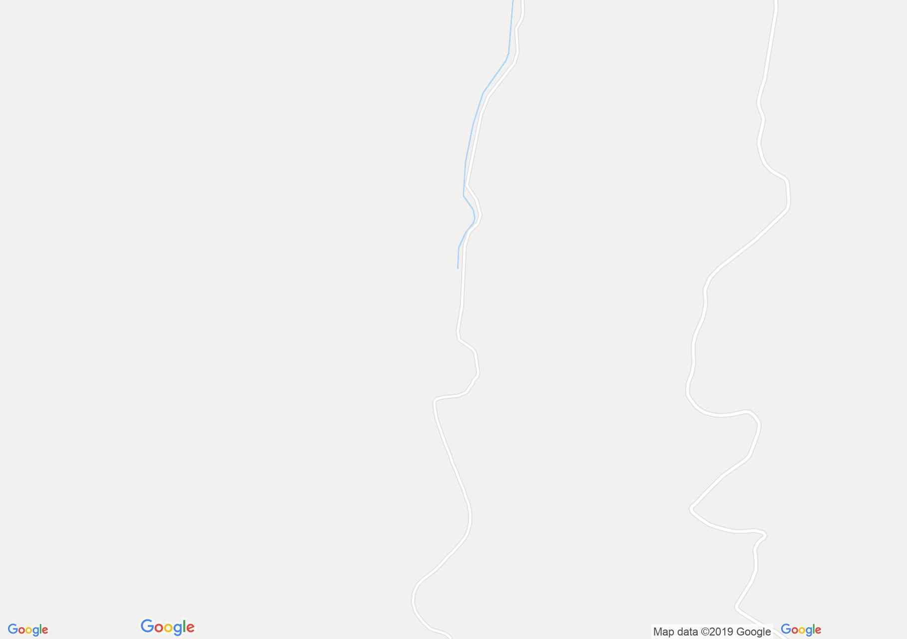
Map of Făgăraş mountains: Topolog valley - Scara saddle
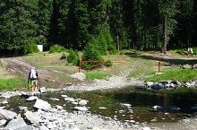
Our route starts from the confluence of the Izvorul Scarii and Izvorul Negoiului Streams, where it can be reached from Sălătruc locality, on a forest road through a 33 km long beautiful old forest. After approx. 25 minutes we reach the former dam in Poiana Baltii.
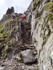
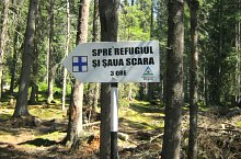
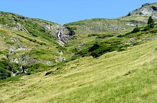
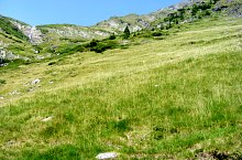
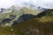
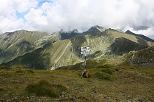
Next we walk past the ladder of the Scale, and when we go out of the woods forever, we open the view and we will be at 1550m altitude. Facing a cascade of 200m with a continuous fall of 50m. Next we climb to the glacier threshold, above the waterfall. From the sheepfold to here, I climbed about 460 m level difference. We cross the water on the right bank, we start the climb among the grooves, and after about 250 m level difference we reach the Scării saddle (2146m). Here is a refuge and here come other markings:
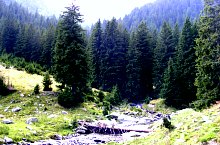
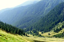
Topolog valley - Scara saddle hiking trail, Făgăraș mountains, Photo: Răzvan Nuță
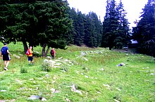
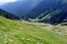
Topolog valley - Scara saddle hiking trail, Făgăraș mountains, Photo: Răzvan Nuță
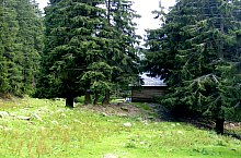
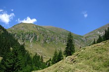
Topolog valley - Scara saddle hiking trail, Făgăraș mountains, Photo: Cornel Găvănescu
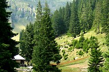
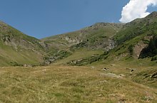
Topolog valley - Scara saddle hiking trail, Făgăraș mountains, Photo: Cornel Găvănescu
Topolog valley - Scara saddle hiking trail, Făgăraș mountains, Photo: Cornel Găvănescu
Topolog valley - Scara saddle hiking trail, Făgăraș mountains, Photo: Răzvan Nuță

Topolog valley - Scara saddle hiking trail, Făgăraș mountains, Photo: Răzvan Nuță

Topolog valley - Scara saddle hiking trail, Făgăraș mountains, Photo: Răzvan Nuță

Topolog valley - Scara saddle hiking trail, Făgăraș mountains, Photo: Răzvan Nuță
Topolog valley - Scara saddle hiking trail, Făgăraș mountains, Photo: Cornel Găvănescu
Topolog valley - Scara saddle hiking trail, Făgăraș mountains, Photo: Cornel Găvănescu
Topolog valley - Scara saddle hiking trail, Făgăraș mountains, Photo: Răzvan Nuță
Topolog valley - Scara saddle hiking trail, Făgăraș mountains, Photo: Cornel Găvănescu
Topolog valley - Scara saddle hiking trail, Făgăraș mountains, Photo: Cornel Găvănescu
Topolog valley - Scara saddle hiking trail, Făgăraș mountains, Photo: Cornel Găvănescu
Negoiu peak-Scării saddle, Photo: Marius Radu

Negoiu peak-Scării saddle, Photo: Marius Radu
Negoiu peak-Scării saddle, Photo: Marius Radu
Source: welcometoromania.ro
GPS: 45.48068N, 24.52457E
Map type