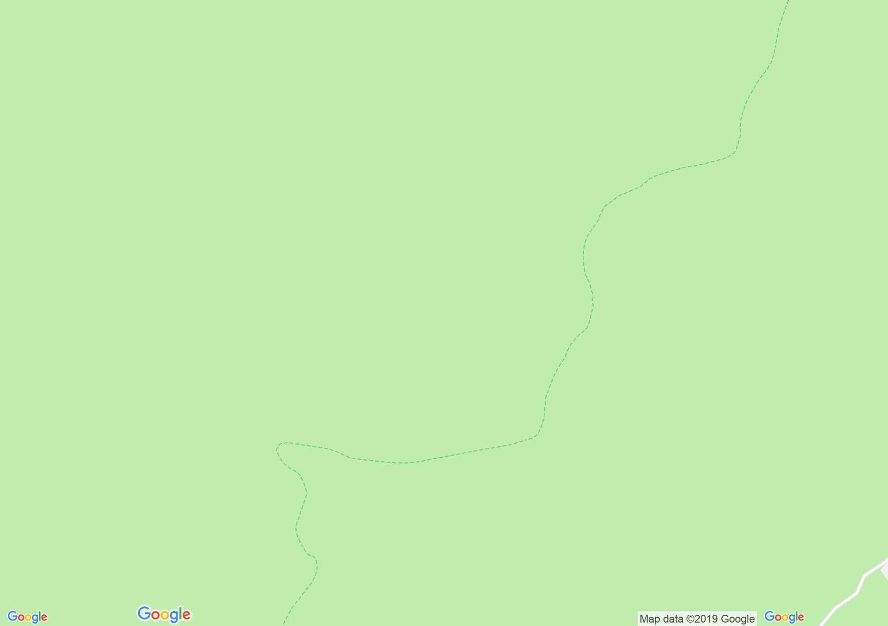
Map of Retezat mountains: Lunca Berhinei - Bucura peak
The yellow point marked route starts from Lunca Berhinei, and directs directly to the summits. After approx. on hour of climbing pass through a clearing, where the trail passes to the right. We rejoin the climb, we reach a hunting hill, behind which the climb continues, with a stream on the left and on the right slope. We arrive at approx. 1800 m, from where in clear weather we will have a beautiful panorama. From here, we change the direction of 90 degrees, and we go almost to the top, but without reaching the main ridge of Slăveiu Mount. We arrive in La Clince saddle, near the place called La Cruce Trăsnitului. On the southern side of the plateau is a crossroads of trails.
Avoid the Clince peak and get to Voileasa plateau. We cross an area with lake and spring and approach the ridge line, near the peak Dosu Slăveiului (2344 m). We cross a small plateau and get to the La Pintenul Slăveiului saddle, which is above the Bucura valey, which houses 16 lakes. From the saddle we descend to a spring, pass a rocky area, cross the stream Ana, and we reach Lake Bucura.
From here starts:
Begin the trail Lunca Berhinei, Photo: Alin Ivașcu
Looking for eagles, Photo: Alin Ivașcu
Yellow point to Slăveiu, Photo: Alin Ivașcu
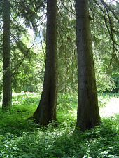
Lunca Berhinda, Photo: Florica Crișan
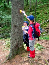
Dyeing the marjings near the Crucea Trăsnitului, Photo: Alin Ivașcu
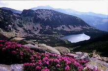
Slăveiu ridge, Photo: Nicolae Șerban Părău
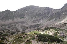
Slăveiu ridge, Photo: Anghel Nichi
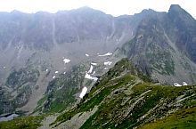
Bucara lake and peak, Photo: Dragoș Lică
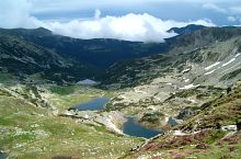
View below the Slave, Photo: Florin Hălăștăuan
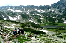
To the lake Bucura, Photo: Alin Ivașcu

Lake Bucura in October, Photo: Radu Pușcașu
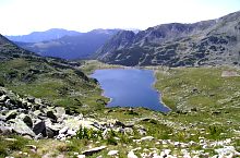
Bucura lake, Photo: Dragoș Lică
Source: welcometoromania.ro
GPS: 45.30860N, 22.82601E
Map type