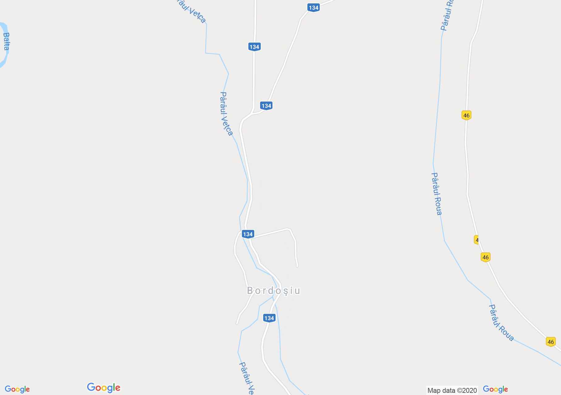
Bordos (térkép)
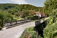
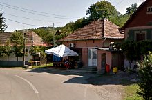
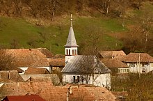
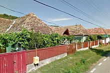
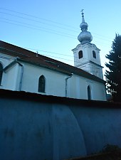
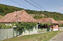
Bordos település első említése 1566-ből származik. A Vécke patak két partján alakult ki a kicsiny település. Ősrégi elveszített, majd visszaszerzett templomát a katolikusok építették újra. Az unitárius templom építésének pontos dátuma nem ismert.
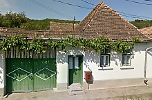
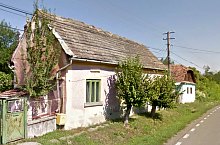
Bordos , Fotó: Google Street View
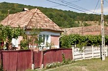
Bordos , Fotó: Google Street View
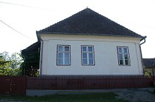
Bordos , Fotó: Google Street View
Bordos , Fotó: Google Street View
Bordos , Fotó: Google Street View
Bordos , Fotó: Andrei Popa
Bordos , Fotó: Haller1962
Bordos , Fotó: Google Street View
Bordos , Fotó: WR
Bordos , Fotó: WR
Bordos , Fotó: Google Street View
Forrás: welcometoromania.ro
GPS: 46.39625N, 24.78560E
pag. 1
<
>
Térkép típus