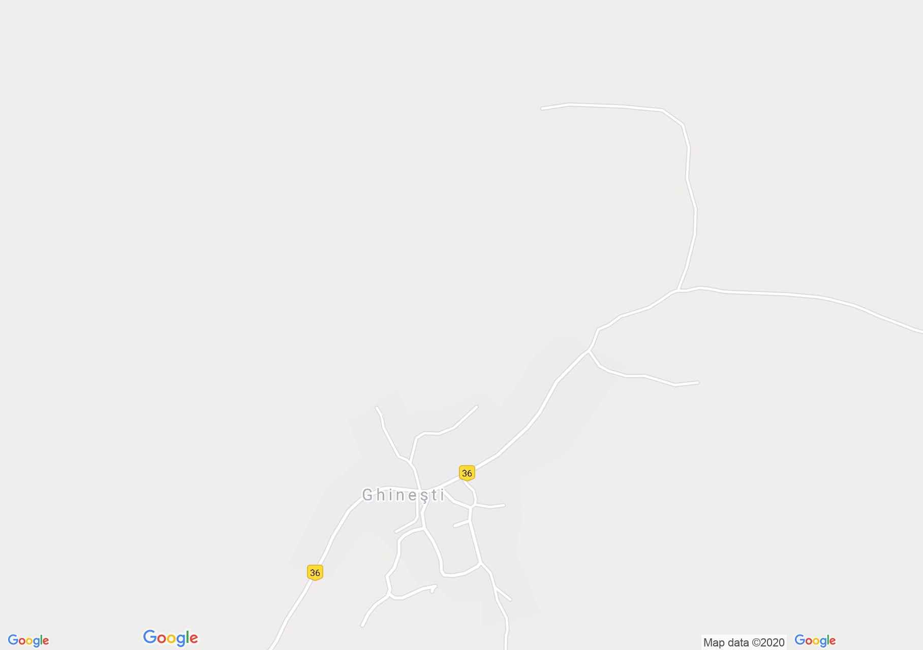
Geges (térkép)
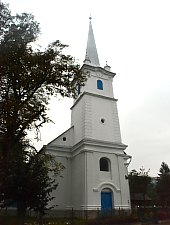
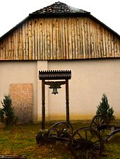
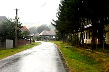
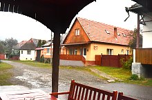
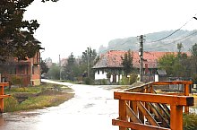
Geges település első említése 1567-ből származik. Az Abod-patak völgyében élt az a 25 család, amely így Marosszék harmadik legnagyobb települését alkotta. A kicsiny település sokáig hatalmas gyümölcsöséről és zamatos almájáról volt híres.
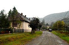
Geges , Fotó: WR

Geges , Fotó: WR

Geges , Fotó: WR
Geges , Fotó: WR
Geges , Fotó: WR
Geges , Fotó: WR
Geges , Fotó: WR
Geges , Fotó: WR
Forrás: welcometoromania.ro
GPS: 46.49698N, 24.86543E
pag. 1
<
>
Térkép típus