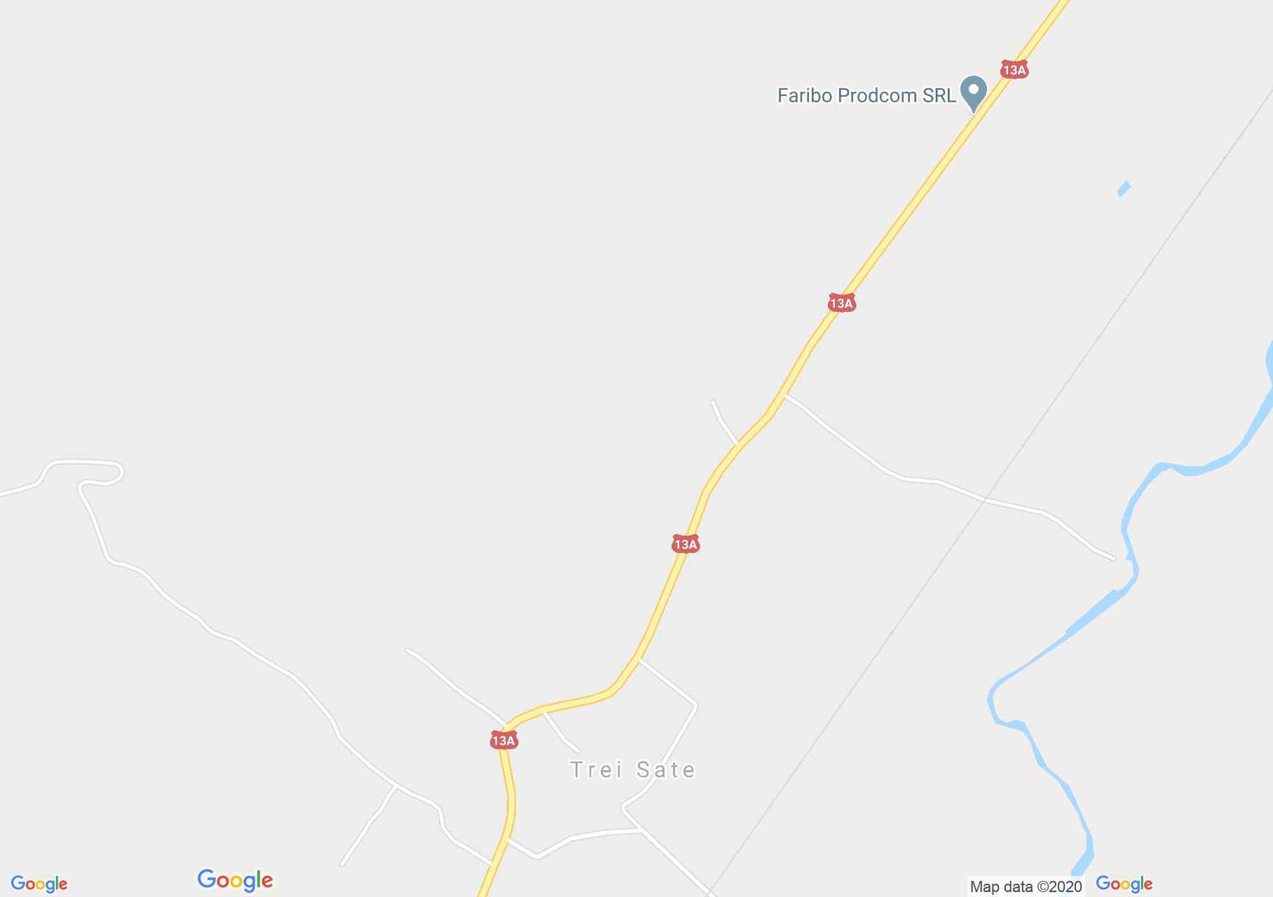
Hármasfalu (térkép)
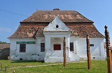
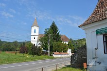
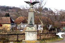
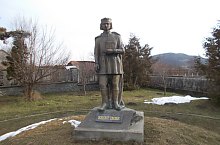
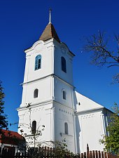
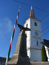
Kevés olyan falu van Romániában, ahol hat templom, reformátusból például három is lenne egy településen. A magyarázat erre az, hogy Hármasfalu, mint neve is mutatja három faluból áll, amely csupán 1950 óta létezik. 2015-ben felröppent a hír, hogy szét akarnának válni, és arra is voltak próbálkozások, hogy a falvak nevei megjelenjenek az első ház mellett. Volt is érte elég bonyodalom. Hármasfalu alkotó települései: Atosfalva, Csókfalva és Székelyszentistván. Atosfalva első említése 1567-ből származik, Csókfalva és Székelyszentistván pedig az 1332 évi dokumentumokban jelennek meg.
Csókfalva
Szentistván
Atosfalva

Hármasfalu , Fotó: Kiss Dénes

Hármasfalu , Fotó: WR

Hármasfalu , Fotó: WR
Hármasfalu , Fotó: WR
Hármasfalu , Fotó: Kiss Dénes

Hármasfalu , Fotó: WR

Hármasfalu , Fotó: Kiss Dénes

Hármasfalu , Fotó: WR

Hármasfalu , Fotó: WR
Hármasfalu , Fotó: Kiss Dénes

Hármasfalu , Fotó: WR
Hármasfalu , Fotó: WR

Hármasfalu , Fotó: WR

Hármasfalu , Fotó: WR

Hármasfalu , Fotó: Kiss Dénes
Hármasfalu , Fotó: WR
Forrás: welcometoromania.ro
GPS: 46.42768N, 25.18420E
Térkép típus