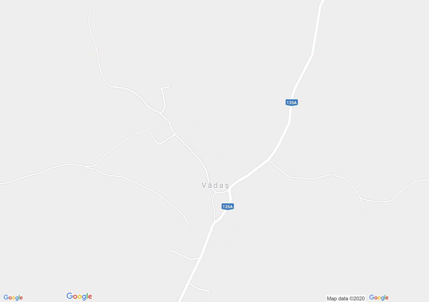
Vadasd (térkép)
A Kis Küküllő mentén elterülő Vadasd első írásos említése 1567-ből származik, de olyan adatok vannak, amelyekből arra lehet következtetni, hogy az övezet az Árpád-házi királyok korában is lakott volt már.
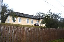
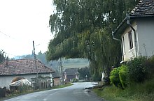
Vadasd , Fotó: WR

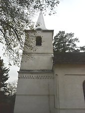
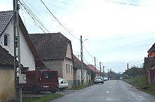
Vadasd , Fotó: WR
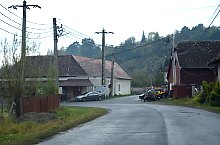
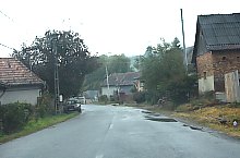
Vadasd , Fotó: WR

Vadasd , Fotó: WR
Vadasd , Fotó: WR
Vadasd , Fotó: WR
Vadasd , Fotó: WR
Vadasd , Fotó: WR

Vadasd , Fotó: WR

Vadasd , Fotó: WR

Vadasd , Fotó: WR
Forrás: welcometoromania.ro
GPS: 46.45464N, 24.82034E
pag. 1
<
>
Térkép típus