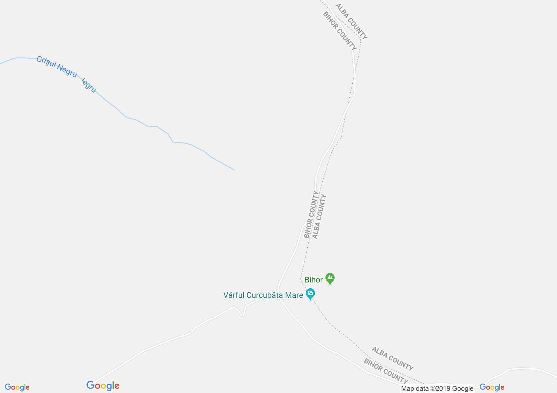
Map of Vârtop: Bihorul peak
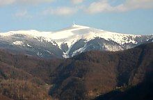
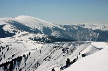
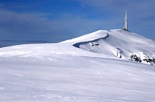
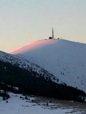
Cucurbăta or Bihorul Mare with the height of 1849 m is the highest peak in the Apuseni Mountains. In clear weather reaching the peak is no problem, because it drives us the ridge. In fog or when the skyscraper is lowered, which is often the case, the only solution remains compass and map orientation. From the top the panorama is superb.
Acecessible from this hiking trails:

Bihorul peak, Vârtop , Photo: Sorin Nicolas
Bihorul peak, Vârtop , Photo: Sorin Nicolas

Bihorul peak, Vârtop , Photo: Tőrös Víg Csaba

Bihorul peak, Vârtop , Photo: Sorin Nicolas
Bihorul peak, Vârtop , Photo: Sorin Nicolas

Bihorul peak, Vârtop , Photo: Hám Péter
Bihorul peak, Vârtop , Photo: Hám Péter

Bihorul peak, Vârtop , Photo: Tőrös Víg Csaba

Bihorul peak, Vârtop , Photo: Salvamont Oradea

Bihorul peak, Vârtop , Photo: Salvamont Oradea
Bihorul peak, Vârtop , Photo: Sorin Nicolas

Bihorul peak, Vârtop , Photo: Sorin Nicolas

Bihorul peak, Vârtop , Photo: Sorin Nicolas
Source: welcometoromania.ro
GPS: 46.44140N, 22.68671E
Map type