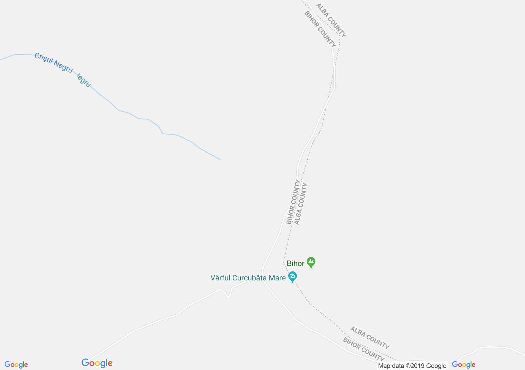
Vertop: Nagy Bihar (térkép)
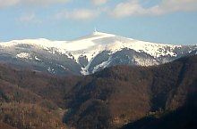
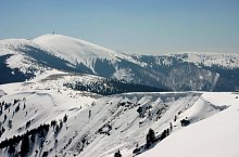
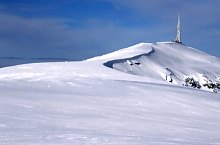
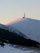
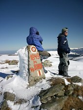
A Nagy-Bihar a maga 1849 méterével az Erdélyi Szigethegység legmagasabb csúcsa. Szép időben nem jelent gondot feljutni rá, hiszen a gerinc vezeti az embert, de amikor köd van, vagy mikor a felhők leereszkednek, csupán a térképre és iránytűre hagyatkozhatunk. Fentről csodálatos kilátás nyílik a környékre.
Az alábbi túristautakon érhető el:

Nagy Bihar, Vertop , Fotó: Sorin Nicolas
Nagy Bihar, Vertop , Fotó: Sorin Nicolas

Nagy Bihar, Vertop , Fotó: Tőrös Víg Csaba

Nagy Bihar, Vertop , Fotó: Sorin Nicolas
Nagy Bihar, Vertop , Fotó: Sorin Nicolas

Nagy Bihar, Vertop , Fotó: Hám Péter
Nagy Bihar, Vertop , Fotó: Hám Péter

Nagy Bihar, Vertop , Fotó: Tőrös Víg Csaba

Nagy Bihar, Vertop , Fotó: Salvamont Oradea

Nagy Bihar, Vertop , Fotó: Salvamont Oradea
Nagy Bihar, Vertop , Fotó: Sorin Nicolas
Nagy Bihar, Vertop , Fotó: Sorin Nicolas

Nagy Bihar, Vertop , Fotó: Sorin Nicolas
Forrás: welcometoromania.ro
GPS: 46.44140N, 22.68671E
Térkép típus