Map of Benesat
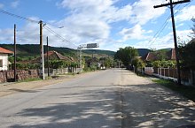
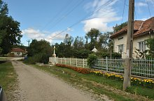
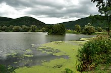
Benesat, a locality on the left bank of the Someș is certified since 1465. The principal landlords of the area were The Jakcs, The Drágffys, The Gyulaffys and The Wesselényis. The locality was many times attacked, burnt and rubbed by the various armed groups. In 1970 the floodings devastated the locality.
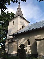
Benesat, Sights

Benesat , Photo: WR
Benesat , Photo: WR
Benesat , Photo: WR
Benesat , Photo: WR

Benesat , Photo: WR

Benesat , Photo: WR
Benesat , Photo: WR

Benesat , Photo: WR
Source: welcometoromania.ro
GPS: 47.41109N, 23.28884E
pag. 1
<
>
Map type


