Map of Ţicău
The Țicău locality from the left bank of the Someș river is certified since 1543. In XVI century it was the property of Drágffy landlord but later on the list of the lendlords appeared The Báthorys, The Nádasdys, The Kuns, The Wesselényis, The Tholdis and The Péchys. The latter built a castle and because of the indifference of local mayors it disappeared at the begining of XXI century, then the wise people begin to understand what's the importance of having a monument in your locality.
Țicău, Sights

Țicău, Reformed church, Photo: WR

Țicău, Reformed church, Photo: WR

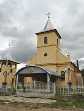
Țicău, Reformed church, Photo: WR

Țicău, Reformed church, Photo: WR

Țicău, Reformed church, Photo: WR

Țicău, Reformed church, Photo: WR

Țicău, Reformed church, Photo: WR

Țicău, Reformed church, Photo: WR

Țicău, Reformed church, Photo: WR

Țicău, Reformed church, Photo: WR
Source: welcometoromania.ro
GPS: 47.44371N, 23.30337E
Map type