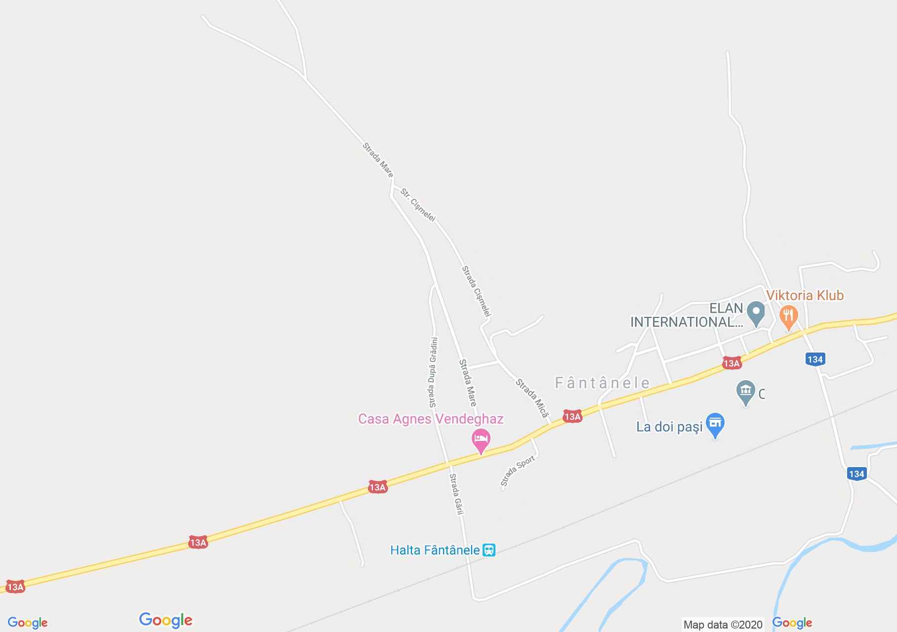
Map of Fântânele
Although it has been mentioned since 1332, the town of Fântânele was very slowly populated, after 500 years it had only 80 souls. After 1530 the Catholic inhabitants became Unitarian, and after 1559 Reformed, together with the church built in the fourteenth century.
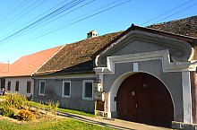
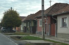
Fântânele , Photo: WR

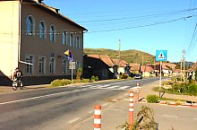
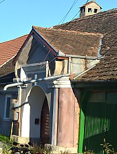
Fântânele , Photo: WR

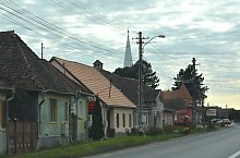
Fântânele , Photo: WR
Fântânele , Photo: WR
Fântânele , Photo: WR

Fântânele , Photo: WR

Fântânele , Photo: WR

Fântânele , Photo: WR

Fântânele , Photo: WR
Fântânele , Photo: WR

Fântânele , Photo: WR

Fântânele , Photo: WR

Fântânele , Photo: WR
Source: welcometoromania.ro
GPS: 46.41934N, 24.75906E
pag. 1
<
>
Map type