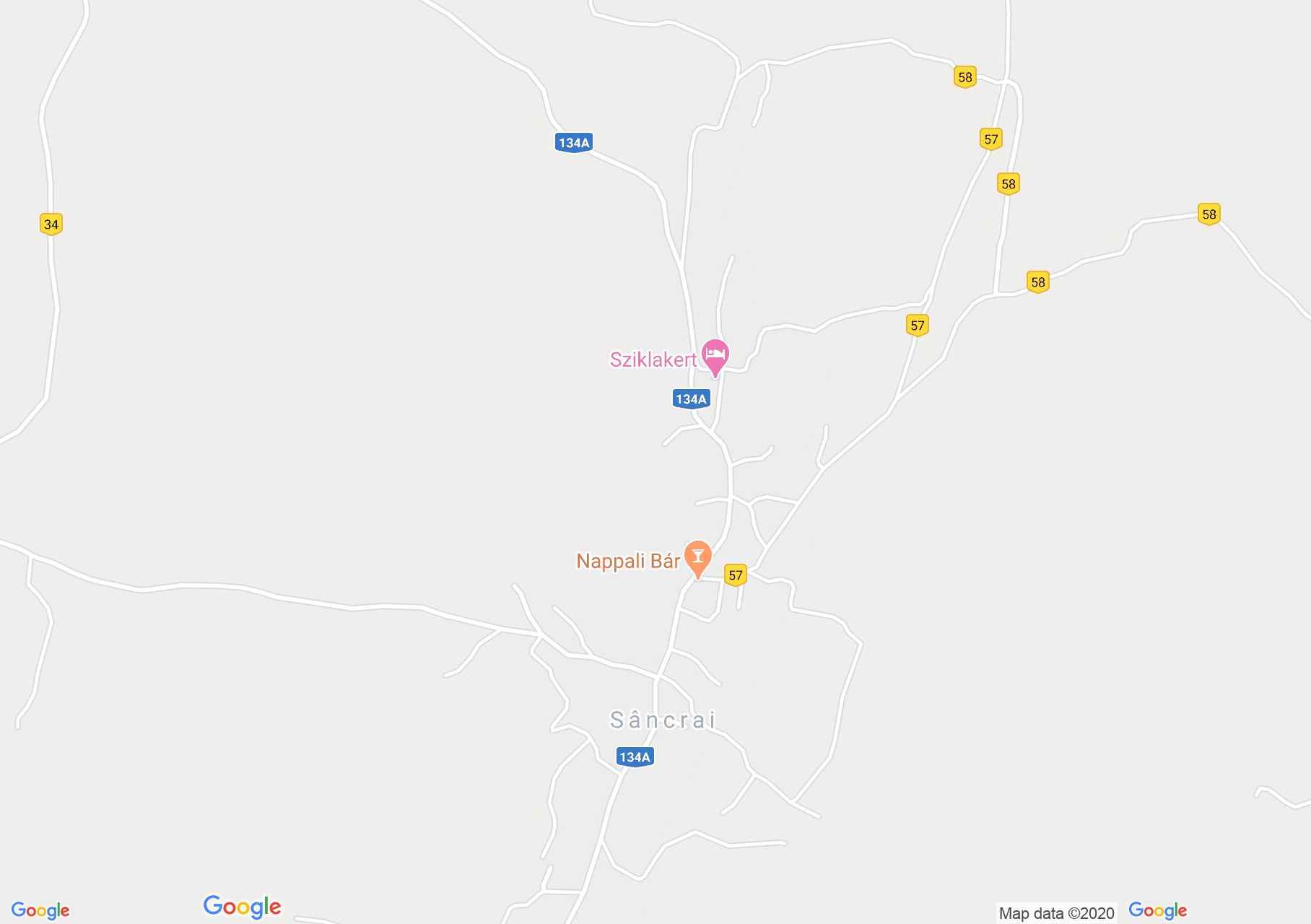
Map of Sâncrai
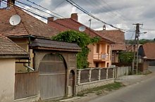
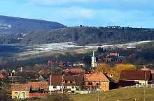
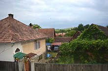
Sâncrai was first mentioned in 1566. The original village was located 2 km further north. Cholera hit the area, killing 90-95% of the village's population. The survivors moved further south between 1553 and 1566. In the eighteenth century it had only a few hundred inhabitants, in 1910 their number reached 1,000.
Sâncrai , Photo: Google Earth

Sâncrai , Photo: WR
Sâncrai , Photo: Csedő Attila
Sâncrai , Photo: WR

Sâncrai , Photo: Csedő Attila

Sâncrai , Photo: Google Earth

Sâncrai , Photo: WR

Sâncrai , Photo: Google Earth

Sâncrai , Photo: WR
Sâncrai , Photo: Google Earth

Sâncrai , Photo: WR

Sâncrai , Photo: WR

Sâncrai , Photo: WR
Source: welcometoromania.ro
GPS: 46.36655N, 25.32351E
pag. 1
<
>
Map type