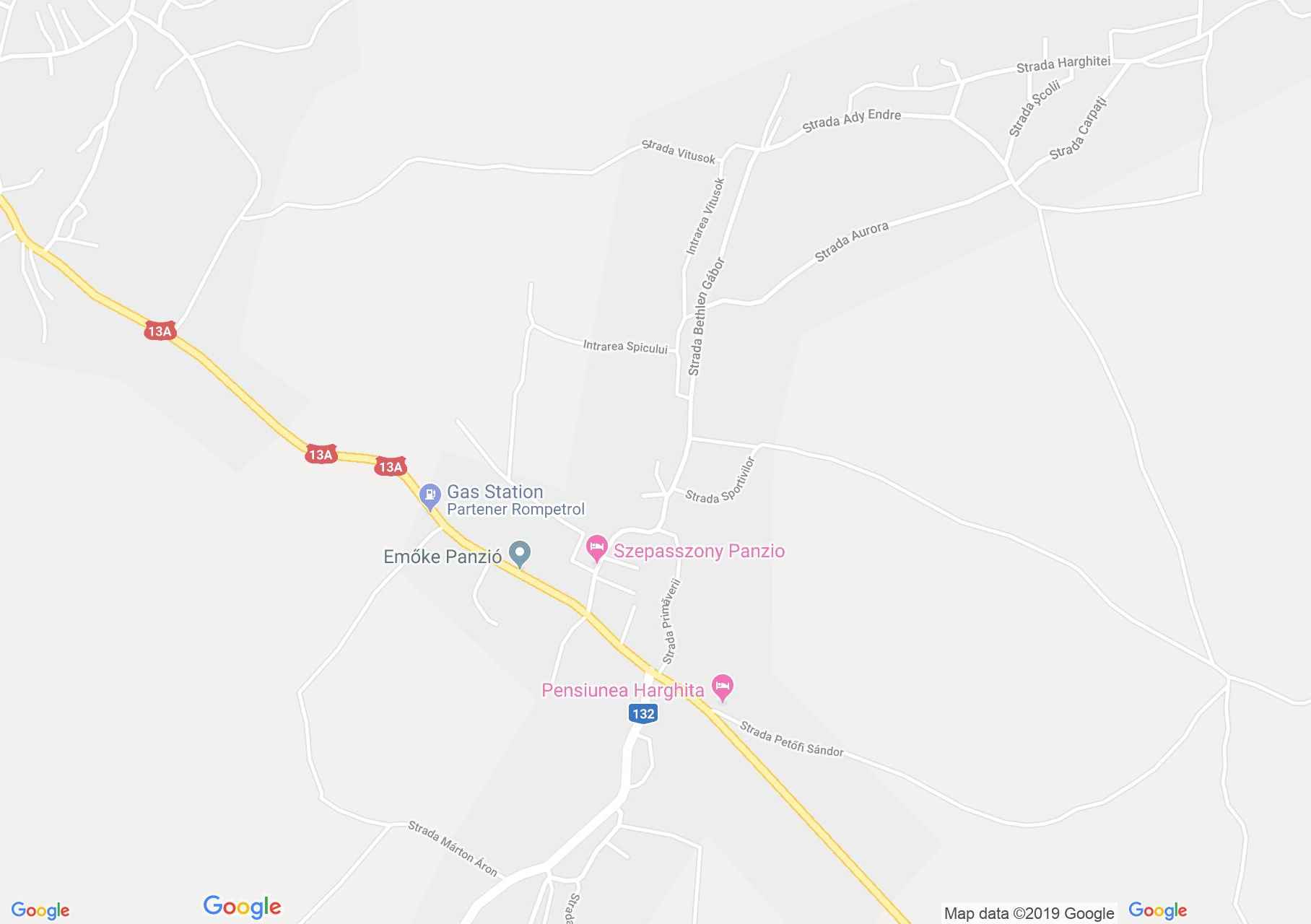
Map of Vlahiţa
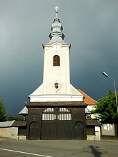
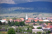
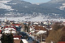
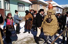
The Wallachia in Hungarian had a double name Szentegyházas-Oláhfalu, as would the Church-Olah village. It refers to the old church of the XIV century and a wall of Olah János high during trade relations, and act as defense way between Székelyudvarhely and parts Ciuc against robbers and wild animals. Later the couriers and the representatives of the state post were kept on their way, until Miercurea Ciuc, by armed men. The beginnings of the locality are shrouded in the fog. Vlahita step is famous for the events of 1567, when the armies of King János Zsigmond were defeated by the Szeklers, and in 1661, when the Szeklers were defeated by Ali Pasha's armies. In 1860 there were several iron processing facilities in the locality that disappeared over time.
Vlahița , Photo: SZIF
Vlahița , Photo: SZIF

Vlahița , Photo: SZIF

Vlahița , Photo: SZIF

Vlahița , Photo: Burus Tibor

Vlahița , Photo: SZIF
Vlahița , Photo: SZIF

Vlahița , Photo: Belinger Gáboe

Vlahița , Photo: Tamás Attila
Vlahița , Photo: SZIF

Vlahița , Photo: SZIF
Vlahița , Photo: SZIF
Vlahița , Photo: SZIF

Vlahița , Photo: SZIF
Vlahița , Photo: SZIF

Vlahița , Photo: SZIF

Vlahița , Photo: SZIF
Vlahița , Photo: SZIF
Vlahița , Photo: SZIF
Vlahița , Photo: SZIF
Source: welcometoromania.ro
GPS: 46.34542N, 25.52908E
Map type