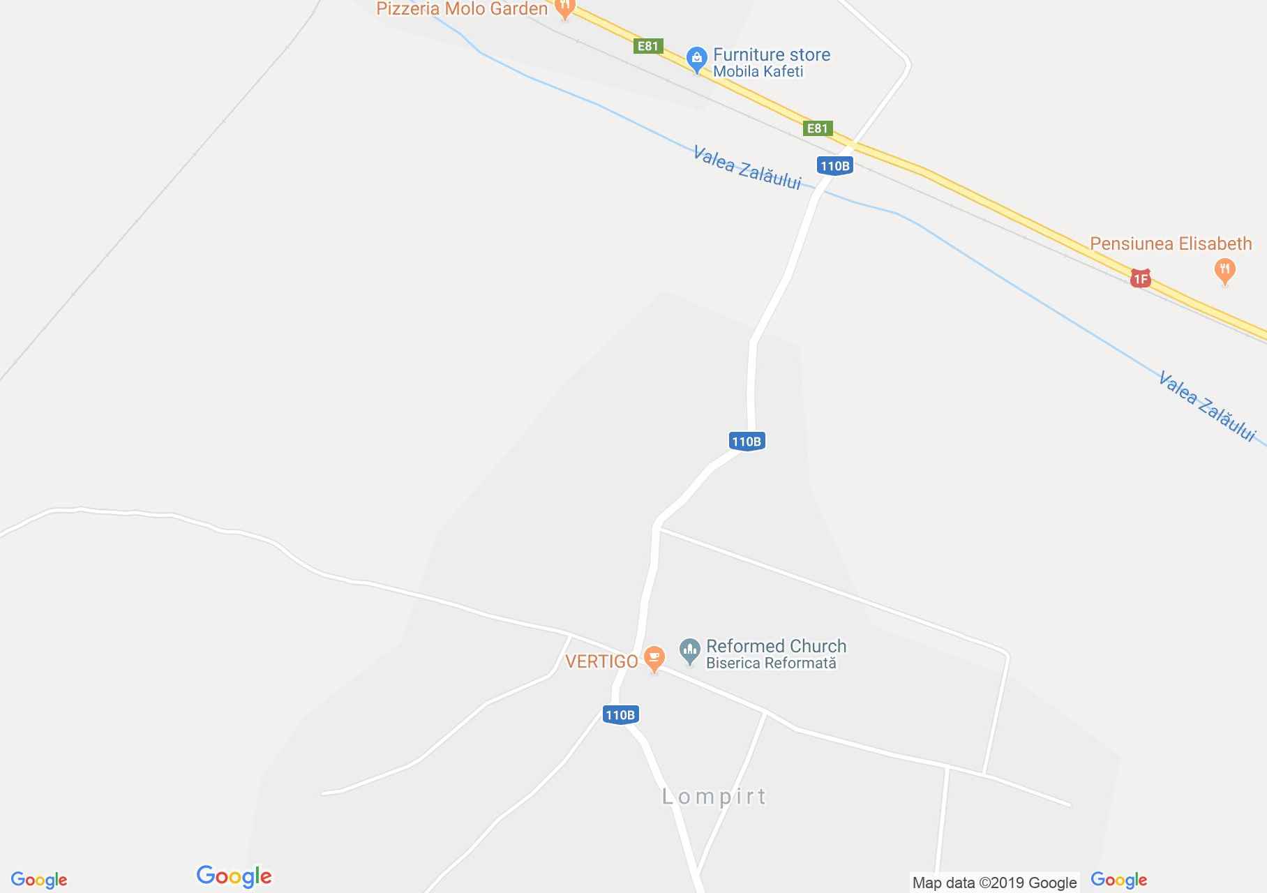
Map of Lompirt
Lompirt locality is situated at 3 km of Șărmășag, it is documentary certified since 1321. Its inhabitants were growing vine, but appropriate land for this activity was only the hills beyond Zalău stream.
As a document certifies since 1643 this land belonged to them. The locality is robbed and destroyed by the Turkish in 1716, continuously abandoned up until 1720. After the Turkish danger passed away the population returned and re-built the locality.
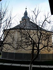
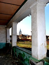
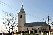
Sights
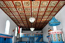
Șamșud, Photo: WR

Șamșud, Photo: WR

Șamșud, Photo: WR

Șamșud, Photo: WR

Șamșud, Photo: WR

Șamșud, Photo: WR

Șamșud, Photo: WR

Șamșud, Photo: WR

Șamșud, Photo: WR

Șamșud, Photo: WR
Șamșud, Photo: WR
Șamșud, Photo: WR

Șamșud, Photo: WR

Șamșud, Photo: WR

Șamșud, Photo: WR
Source: welcometoromania.ro
GPS: 47.32343N, 22.84166E
Map type