Map of Săcăşeni
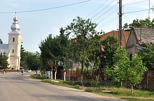
Săcășeni is an old locality, it even appears in the documents that dates since 1240. Among the landlords of the area there are Szakácsi Erdélyi Jakab, Gencsy, and the name of Rákóczi as well. In 1600 the Turkish burnt the village. The reformed church was built in XVIII century. The Franciscan monastery from the edge of the village lives only in the memories, but the bell is being kept in the church.
Sights

Săcășeni , Photo: WR
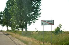
Săcășeni , Photo: WR

Săcășeni , Photo: WR

Săcășeni , Photo: WR

Săcășeni , Photo: WR

Săcășeni , Photo: WR

Săcășeni , Photo: WR
Săcășeni , Photo: WR
Source: welcometoromania.ro
GPS: 47.48475N, 22.67999E
pag. 1
<
>
Map type


