Map of Mera
Mera is at the north-east border of Țara Călatei. The locality's name comes from The Méras nobles, first owners of the locality. It is the most important locality of the area" Cifra Kalotaszeg", area with the most pronounced decorations. The inhabitants are specialized in buffalo raising. So it is no wonder that the first buffalo's museum was opened here. On the village's streets you can see people in national costume during the week too, the real demonstration is on Holydays.
Sights in Mera

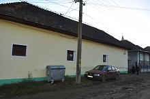
Mera , Photo: WR

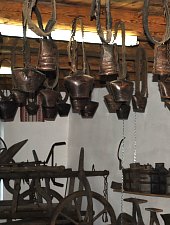
Mera , Photo: WR

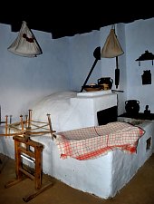
Mera , Photo: WR
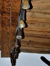
Mera , Photo: WR

Mera , Photo: WR

Mera , Photo: WR

Mera , Photo: WR

Mera , Photo: WR

Mera , Photo: WR

Mera , Photo: WR
Mera , Photo: WR
Mera , Photo: WR

Mera , Photo: WR
Mera , Photo: WR
Source: welcometoromania.ro
GPS: 46.81669N, 23.45209E
Map type