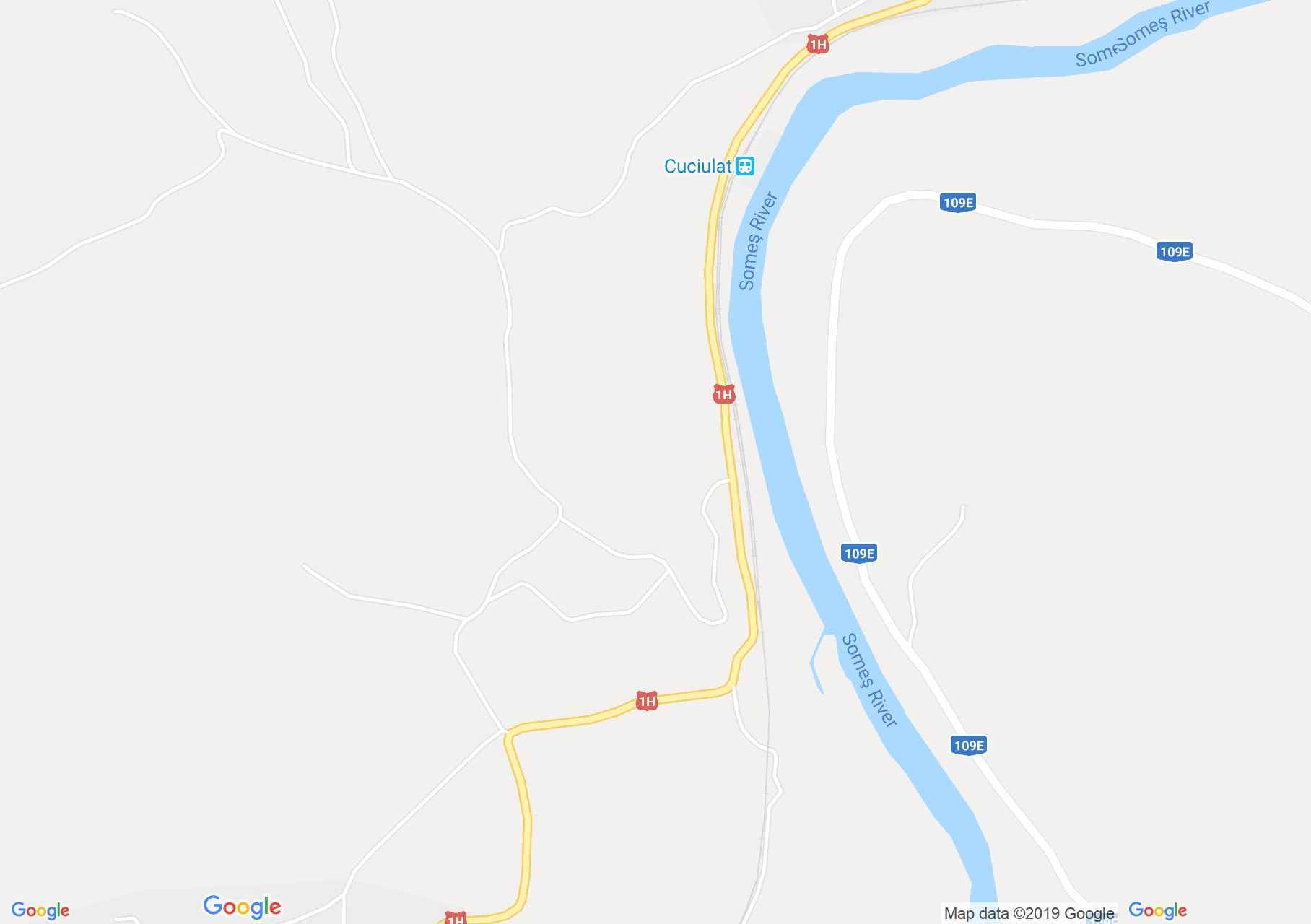
Map of Băbeni: Lime pit
The limy area around Băbeni locality was once known. The first limy pit was opened in Austrian-Hungary time beside the railway on approximately 1 km. In around 1950 the exploitation passed to local industry and in 1972 it was taken by the Cluj Combine group of enterprises mining.
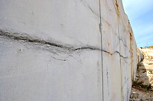
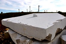
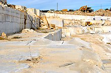
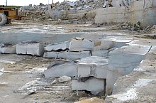
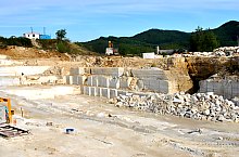
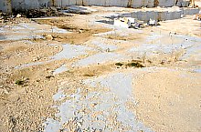
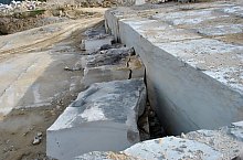
In sector 2 and 3 were opened other two exploitations. In sector 2 after an explosion the Cuciulat Cave was found. The works were stopped and the exploitation from Piroșa was opened. The photos are made in Băbeni where blocks of limy are exploited.
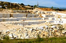
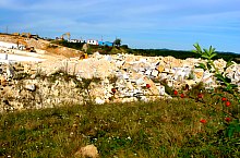
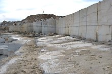
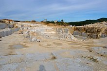
Lime pit, Băbeni , Photo: WR
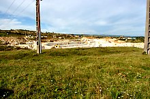
Lime pit, Băbeni , Photo: WR
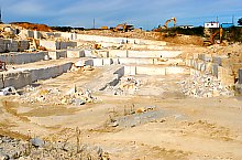
Lime pit, Băbeni , Photo: WR
Lime pit, Băbeni , Photo: WR
Lime pit, Băbeni , Photo: WR
Lime pit, Băbeni , Photo: WR
Lime pit, Băbeni , Photo: WR
Lime pit, Băbeni , Photo: WR
Lime pit, Băbeni , Photo: WR
Lime pit, Băbeni , Photo: WR
Lime pit, Băbeni , Photo: WR
Lime pit, Băbeni , Photo: WR
Lime pit, Băbeni , Photo: WR
Source: welcometoromania.ro
GPS: 47.30965N, 23.41163E
Map type