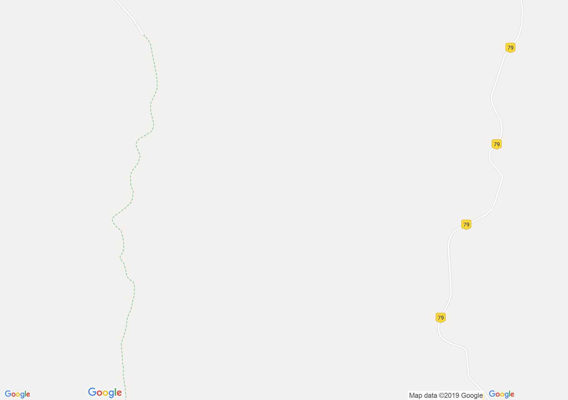
Map of Făgăraş mountains: Sâmbăta complex - Răcorele saddle
The route starts in the vicinity of Arseny Boca Priest and the ski slope. We cross a clearing and we start a steep climb, which slumps through the deciduous forest, but we are following the top of the Sweetheart. At approx. 1000m altitude we reach the glade La Comandă.
In the clearing we meet
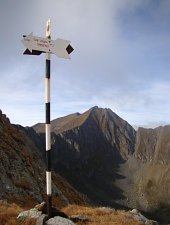
At approx. 1650 m altitude, we reach Lespezi Glade, where there is a hunting cabin, and an indicator for
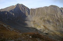
From here in 10 minutes we reach the alpine hole. The first prominent peak is Noaghea (2012m), from where the trail passes through a cliff area, beyond the Crinta peaks (2114m), where there is a stone hill. Follow an area of ups and downs.
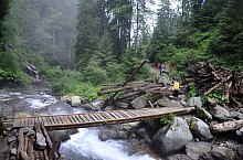
Cables are installed in the La Polițe area. Next we cross the eastern foot of the Piatra Roșie peak, where we will have a viewing spot. Arriving in the Roca Valley, we notice the lakes of Topila Baronesei. Here markings arrive:

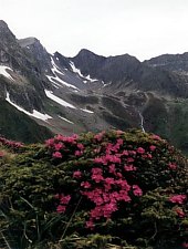
Sâmbăta complex - Răcorele saddle, Photo: Cristian Laubach

Sâmbăta complex - Răcorele saddle, Photo: Cristian Laubach

Sâmbăta complex - Răcorele saddle, Photo: Cristian Laubach

Sâmbăta complex - Răcorele saddle, Photo: Marius Mihai

Sâmbăta complex - Răcorele saddle, Photo: Marius Mihai

Sâmbăta complex - Răcorele saddle, Photo: Marius Mihai

Sâmbăta complex - Răcorele saddle, Photo: Marius Mihai

Sâmbăta complex - Răcorele saddle, Photo: Marius Mihai

Sâmbăta complex - Răcorele saddle, Photo: Marius Mihai

Sâmbăta complex - Răcorele saddle, Photo: Marius Mihai

Sâmbăta complex - Răcorele saddle, Photo: Alexandra Roșu

Sâmbăta complex - Răcorele saddle, Photo: Alexandra Roșu

Sâmbăta complex - Răcorele saddle, Photo: Alexandra Roșu

Sâmbăta complex - Răcorele saddle, Photo: Alexandra Roșu

Sâmbăta complex - Răcorele saddle, Photo: Alexandra Roșu

Sâmbăta complex - Răcorele saddle, Photo: Alexandra Roșu
Sâmbăta complex - Răcorele saddle, Photo: Andrei Bazar

Sâmbăta complex - Răcorele saddle, Photo: Alexandra Roșu
Sâmbăta complex - Răcorele saddle, Photo: Andrei Bazar
Sâmbăta complex - Răcorele saddle, Photo: Matei Laudoniu
Source: welcometoromania.ro
GPS: 45.65502N, 24.77644E
Map type