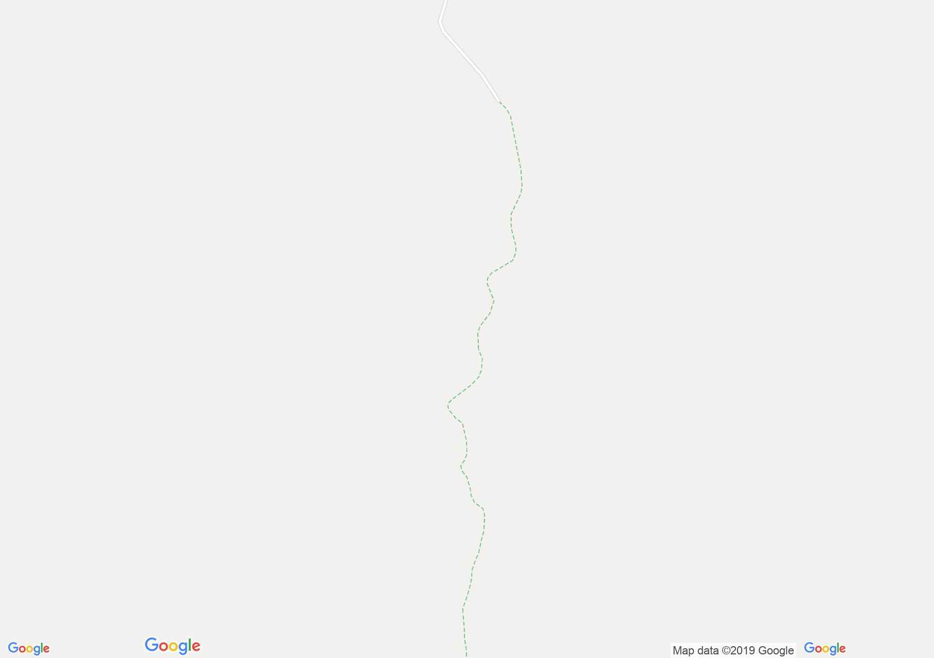
Map of Făgăraş mountains: Viştişoara - Răcorele saddle
The route starts in the village Viștișoara from the indicator panel located near the county road DJ 102G. The first 3.5 km of the route takes place on a forest road that ends beyond the Lunca Larga glade.
Here marks the blue point mark. We head on the shores of Viștișoara Stream, and we reach the alpine hole, where the wild area of Red Stone is seen. On our way to Lake Viștișoara we pass by a shepherd's hut. The lake is hidden among the boulders. From the lake we start the climb to the Răcorelelor saddle.
Here are the markings
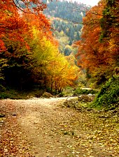
Viștișoara - Răcorele saddle hiking trail, Făgăraș mountains, Photo: Dan Caba
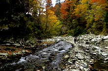
Viștișoara - Răcorele saddle hiking trail, Făgăraș mountains, Photo: Dan Caba

Viștișoara - Răcorele saddle hiking trail, Făgăraș mountains, Photo: Dan Caba
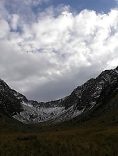
Viștișoara - Răcorele saddle hiking trail, Făgăraș mountains, Photo: Dan Caba

Viștișoara - Răcorele saddle hiking trail, Făgăraș mountains, Photo: Dan Caba
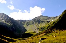
Viștișoara - Răcorele saddle hiking trail, Făgăraș mountains, Photo: Paul Ion
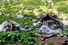
Viștișoara - Răcorele saddle hiking trail, Făgăraș mountains, Photo: Paul Ion
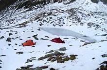
Viștișoara - Răcorele saddle hiking trail, Făgăraș mountains, Photo: Dan Caba
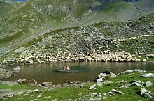
Viștișoara - Răcorele saddle hiking trail, Făgăraș mountains, Photo: Horațiu Dobrilă
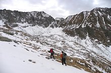
Viștișoara - Răcorele saddle hiking trail, Făgăraș mountains, Photo: Dan Caba
Viștișoara - Răcorele saddle hiking trail, Făgăraș mountains, Photo: Dan Caba
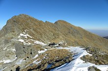
Viștișoara - Răcorele saddle hiking trail, Făgăraș mountains, Photo: Dan Caba
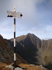
Viștișoara - Răcorele saddle hiking trail, Făgăraș mountains, Photo: Andrei Bazar
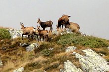
Viștișoara - Răcorele saddle hiking trail, Făgăraș mountains, Photo: Andrei Bazar
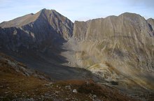
Viștișoara - Răcorele saddle hiking trail, Făgăraș mountains, Photo: Andrei Bazar
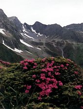
Viștișoara - Răcorele saddle hiking trail, Făgăraș mountains, Photo: Matei Laudoniu
Source: welcometoromania.ro
GPS: 45.65633N, 24.76549E
Map type