Map of Retezat mountains: Bucura Lake - Câmpul lui Neag
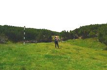
Occasionally there are two route signs. We soon reach the path which turns right and leads to lake Lia. We keep descending and arrive at Peleaga clearing (1610m.) We descend into the creek bed and continue out trip on the opposite side in the direction of the La Scorțar sheep-fold.
From here goes
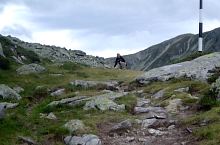
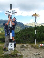
The route sign leads us behind the sheep-fold and we begin a demanding ascent to Plaiul Mic saddle (1879m).
Here we intersect the red cross sign.
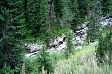
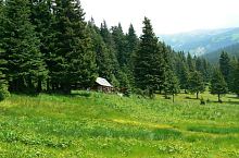
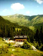
The route sign travels south, descends into Plajul valley and a relatively mild ascent turns into a much more demanding serpentine path. The last section leading to Buta travels parallel to the creek. The lodge is at a distance of 1580m. It is a starting point for:
We keep descending from the lodge, go by La Fete sheep-fold, and follow a tractor road to a place called La Beci.
We have 11km forest road ahead of us in the Buta valley, we go by Cheile Buții tourist complex and continue our trip in the Jiului valley until we arrive at Câmpul lui Neag (825m) settlement.

Bucura Lake, Photo: Radu Dârlea
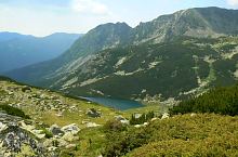
Bucura Lake, Photo: Marian Ghibu
We leave Bucura cauldron, Photo: Radu Dârlea
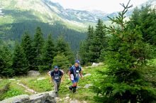
Path to Peleaga clearing, Photo: Marian Ghibu
Pelegii valley, Photo: Radu Dârlea
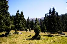
Peleaga clearing, Photo: Radu Dârlea
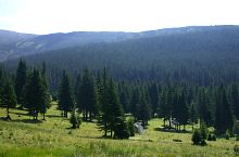
Peleaga clearing, Photo: Cosmin Manci
Peleaga clearing, Loc de campare, Photo: Florina Crișan
Peleaga clearing, Photo: Marian Ghibu

Bifurcația, Photo: Marian Ghibu
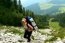
On the way to Plaiul Mic, Photo: Alin Ivașcu
Bucura Lake - Câmpul lui Neag hiking trail, Retezat mountains, Photo: Marian Ghibu
View from the road, Photo: Marian Ghibu

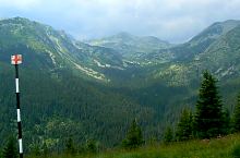
Ascent to Plaiul Mic saddle, Photo: Marian Ghibu
Ascent to Plaiul Mic saddle, Photo: Marian Ghibu
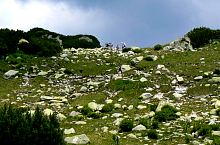
Plaiului Mic saddle, Photo: Marian Ghibu
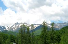
To the Piatra lui Iorgovan, Photo: Alin Ivașcu
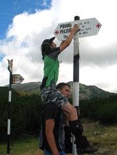
On the way between Buta és Poiana Pelegii, Photo: APNR
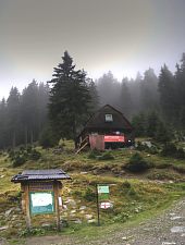
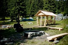
Buta, Mountain rescue, Photo: Cosmin Manci
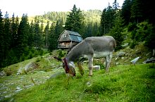
Buta, Photo: Florina Crișan

Buta hostel
Buta, Photo: Florina Crișan
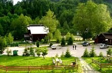
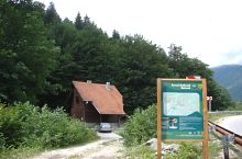
Complexul Cheile Buții
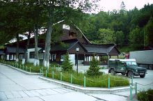
Complexul Cheile Buții, Photo: PNR

The valley towards Câmpul lui Neag
Area specific regulationsl, Photo: Florina Crișan
Retezatul Mic from Câmpul lui Neag, Photo: Florina Crișan
Source: welcometoromania.ro
GPS: 45.35068N, 22.88246E
Map type
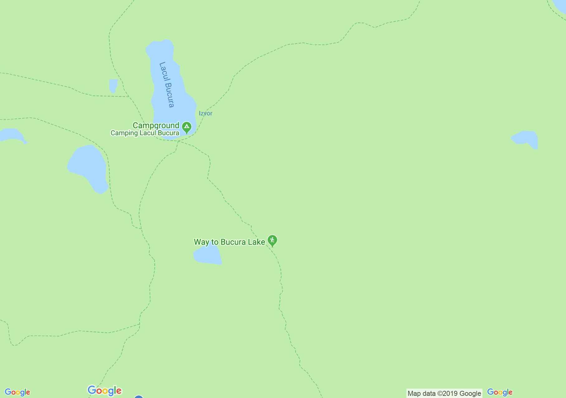


Retezat mountains: Bucura Lake - Câmpul lui Neag

Retezat mountains: Lunca Berhinei - Bucura peak

Retezat mountains: Lia lake

Retezat mountains: The lakes tour
Retezat mountains: Bucura Lake - Câmpul lui Neag

Retezat mountains: Gura Apei - Bucura Lake
Retezat mountains: Lunca Berhinei - Bucura peak

Retezat mountains: Ana lake
Retezat mountains: The lakes tour