Map of Zalău: Zalau
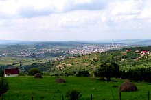
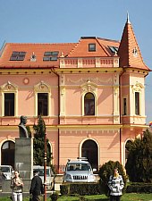
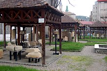
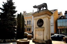
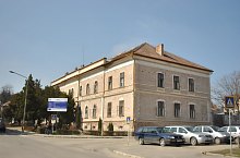
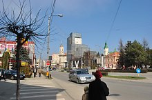
Zalău city, is known for the surrounding roman prestiges, it appears for the first time in documents at the begining of XIII century, in 1246 being the property of bishop of Alba Iulia. In 1473 it received the oppidum title, an inferior statute for the free royal cities, but superior to the villages. Being at the borders of medieval powers it was for many times the operation theatre for different armies. In 1658 it was destroyed by the Turkish, the Hapsburg mercenaries attacks folowed, a fire, and in XVIII century plague epidemics. The most important landlords were the Bánffys, Telekis and Wesselényis. Wesselényi Miklós (1796-1850), one of the most important politician of that time, famous for setting free the peasants from its lands, in 1848 he set free hundred of families, giving them land and the oportunity of learning modern agriculture. In 1870 Zalău became the centre of County Sălaj. In XIX century appeared the most important buildings, the central market is arranged, and one by one the public buildings appeared. Unfortunately there are few information about the city history because the archive was destroyed repeatedly by the ones who wanted to erase the history of these places.

Zalău·, Photo: WR
Zalău·, Photo: Mihaela Ilie

Zalău·, Photo: WR
Zalău·, Photo: WR

Zalău·, Photo: WR

Zalău·, Photo: WR

Zalău·, Photo: WR
Zalău·, Photo: WR

Zalău·, Photo: WR
Zalău·, Photo: Faluvégi Ervin
Zalău·, Photo: WR
Zalău·, Photo: WR
Zalău·, Photo: WR

Zalău·, Photo: WR

Zalău·, Photo: WR

Zalău·, Photo: WR
Zalău·, Photo: WR
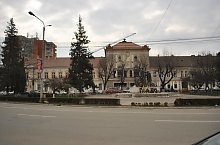
Zalău·, Photo: WR

Zalău·, Photo: WR
Source: welcometoromania.ro
GPS: 47.17849N, 23.05794E
Map type


Zalău: Sera house

Dance: Columna folk ensemble - Zalău

Zalău: Zoványi house

Zalău: City Hall

Zalău: Vigado

Zalău: Zalau

Zalău: Fountain

Zalău: Statue Wesslényi

Zalău: Reformed high school
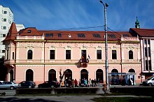
Zalău: Újvárosi house
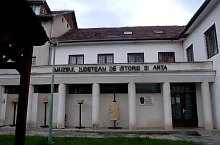
Zalău: History Museum, Craftsmen's Casino

Zalău: Keeping House Középszolnok County
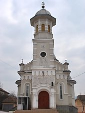
Zalău: Orthodox church

Zalău: Catholic church

Zalău: Reformed church

Zalău: Girl school
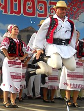
Dance: Mesesul folk ensemble - Zalău

Zalău: Military Barracks
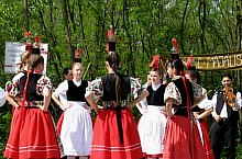
Dance: Terbete folk ensemble - Zalău